What is recorded here
Scotland's National Record of the Historic Environment records St. John's Well as Holy Well (medieval). The official map says its point is accurate as follows: NGR given to the nearest 10m. The record does not by itself mean that the public may enter the place.
St. John's Well is associated with St. John the Baptist, a popular figure in Scottish and wider Christian tradition, often linked to healing and baptismal rites. Holy wells dedicated to him were typically visited on his feast day, June 24th, with traditions involving the collection of water for health or spiritual purposes.
The historic-place record does not grant public access. Check current conditions and ownership before entering land or a building.
Places near here
 Naughton HouseCountry House (18th Century) · 490 yd
 Naughton FarmFarmhouse (period Unassigned), Farmstead (period Unassigned) · 607 yd
 NaughtonCarved Stone Ball (period Unassigned) · 662 yd
 GauldryUnidentified Flint(s) (flint)(period Unassigned) · 689 yd
 Firth of TayBay · 976 yd
 The Ghoul's DenWood · 1.1 mi
 Round HillMountain / peak · 1.1 mi
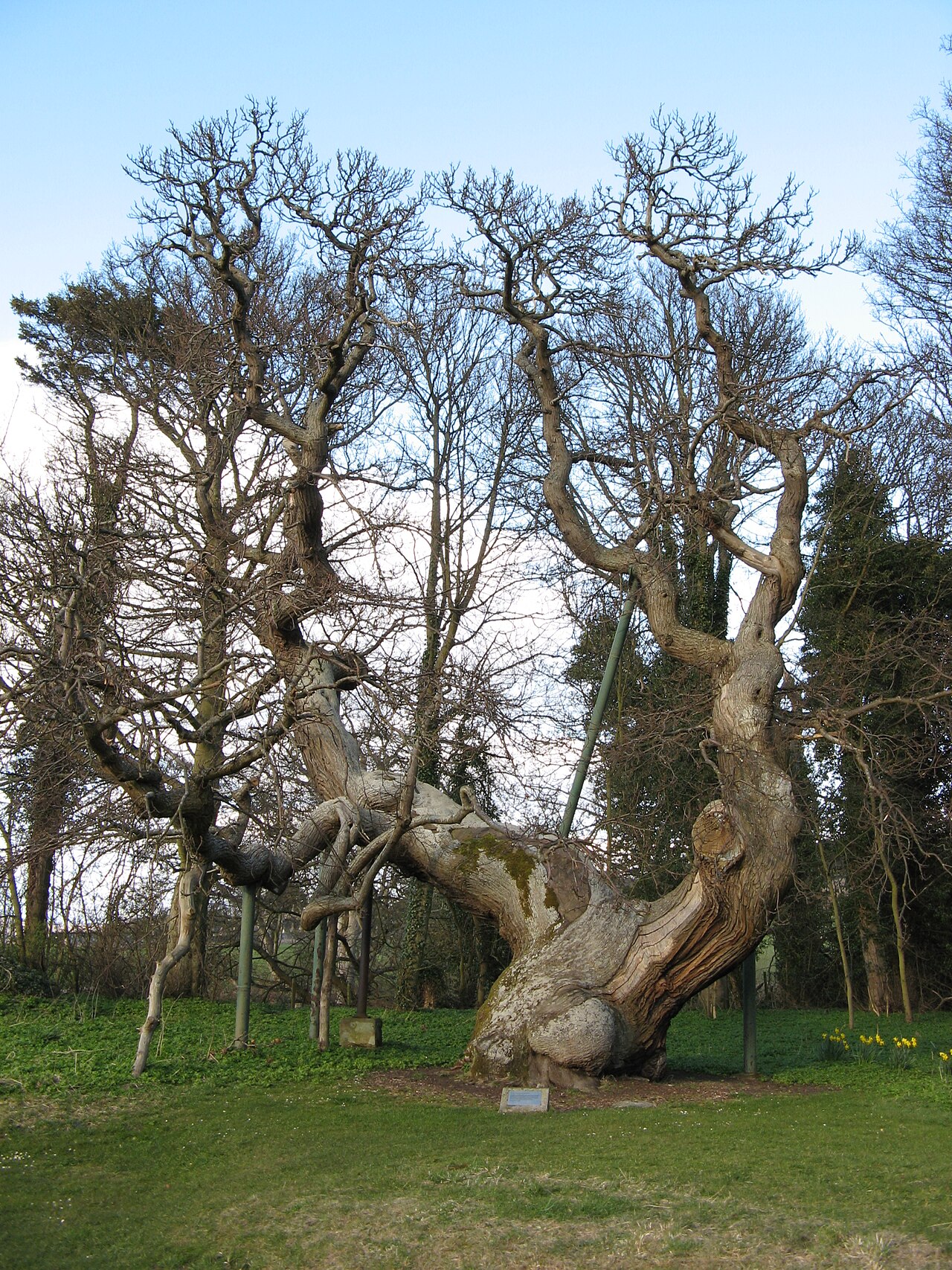 Queen Ermengarde's ChestnutSweet Chestnut · 1.1 mi
 Memorial CottagesMemorial · 1.2 mi
 Wormit BayBay · 1.2 mi
 BalmerinoBoat (period Unassigned) · 1.3 mi
 Tay Bridge Disaster MemorialMemorial · 1.3 mi