
What is recorded here
Squallacombe prehistoric stone row is shown and named in a reusable Geograph picture. The saved point is the picture's recorded map point.
The picture record does not grant public access. Use signed public paths and do not enter private land without permission.
Places near here
 Small waterfallWaterfall · 1171 yd
 White Ladder prehistoric stone rowAncient stone or rock art · 1297 yd
 Setta BarrowMountain / peak · 1397 yd
.jpg?width=1280) Two BarrowsArchaeological place · 1.4 mi
Two BarrowsArchaeological place · 1.4 mi Exmoor : Stream & WaterfallWaterfall · 1.7 mi
 Simonsbath House HotelListed building · 2.2 mi
 Chains BarrowMountain / peak · 2.3 mi
 Church of St LukeListed building · 2.4 mi
 Cow Castle ExmoorCastle, fort or tower · 3.5 mi
 Cow CastleScheduled monument · 3.5 mi
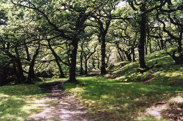 Brendon: Badgworthy WoodForest or wood · 5.7 mi
 Holdridge WoodsWood · 5.9 mi
Other information
Photo: Sandy Gerrard · CC BY-SA 2.0