Why this matters
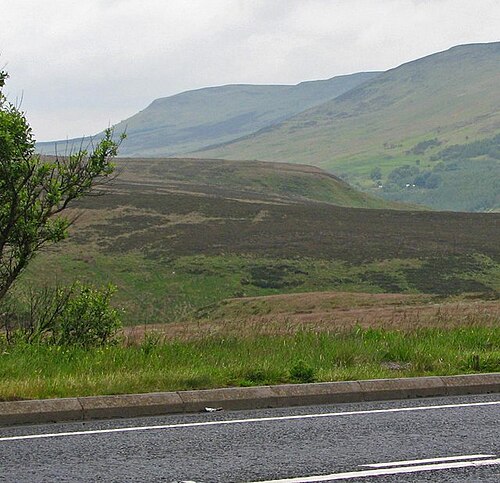
The Sperrin Mountains, located primarily in County Tyrone, Northern Ireland, reach a maximum elevation of approximately 679 meters at Slieve League. Composed mainly of basalt and formed during the Paleogene period, they are part of the broader Central Lowland region with significant archaeological sites, including ancient forts and ring walls, reflecting their historical and cultural importance.
What is recorded here
This page uses the checked exact public identity for Sperrin Mountains. For a large lake, park or mountain range, the map point marks the named place as a whole.
Add the human story, a picture, a first-hand message or a missing place.
Earn 5 points after the picture is checked and accepted.
Add a pictureAdd its storyTalk or ask a questionAdd a new placeCheck current access, opening information and local safety conditions before going.
Conversation about this place
Questions and messages sit beneath the source record. They are checked before appearing.
No questions or messages yet.
Ask a question or join the conversation