
What is recorded here
Spelga is a low mountain in County Down, with an elevation of approximately 300–350 metres. It lies within the Sperrin Mountains, an area characterised by basaltic and volcanic rock formations from the Carboniferous period. The region holds historical significance for its upland agriculture and as part of the broader landscape shaped by ancient geological activity.
Places near here
 SpalthaMountain / peak · 892 yd
 SlievenamuckMountain / peak · 1044 yd
 Little Cock TorCliff · 1.2 mi
 Summit TorCliff · 1.3 mi
 CROSS-CARVED BOULDER in BallyaughianCROSS-CARVED BOULDER · 1.6 mi
 Cock, Hen, PigeonWalking route · 1.8 mi
 Sandbank Road Picnic AreaPicnic place · 2.0 mi
 UNCERTAIN: CASTLE COMMOGUE in GowardUNCERTAIN: CASTLE COMMOGUE · 2.1 mi
 Goward DolmenArchaeological place · 2.2 mi
 Tower on Slieve MeelmoreHistoric building · 2.5 mi
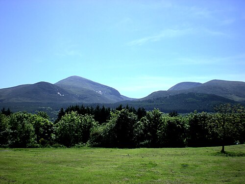 Mourne MountainsMountain range · 2.6 mi
 Trassey TrackWalking route · 2.7 mi
Other information
Photo: Eric Jones · CC BY-SA 2.0