
What is recorded here
Spaniorum Hill is shown as a mountain / peak on the public map of South Gloucestershire. The saved point is the map point or the centre of its mapped shape.
This does not grant access. Check current paths, opening conditions and ownership before entering.
Places near here
 Farm rolls, Spaniorum HillMountain or hill · 317 yd
 Farmland on Spaniorum HillMountain or hill · 329 yd
 Tower at Hollywood Tower and Boundary WallListed building · 998 yd
 All Saints Church, Compton GreenfieldChurch, cross or graveyard · 1044 yd
 Bridge under the M5 by Hollywood TowerCastle, fort or tower · 1199 yd
 Bear WoodWood · 1519 yd
 Cribbs Causeway waterfallWaterfall · 1.2 mi
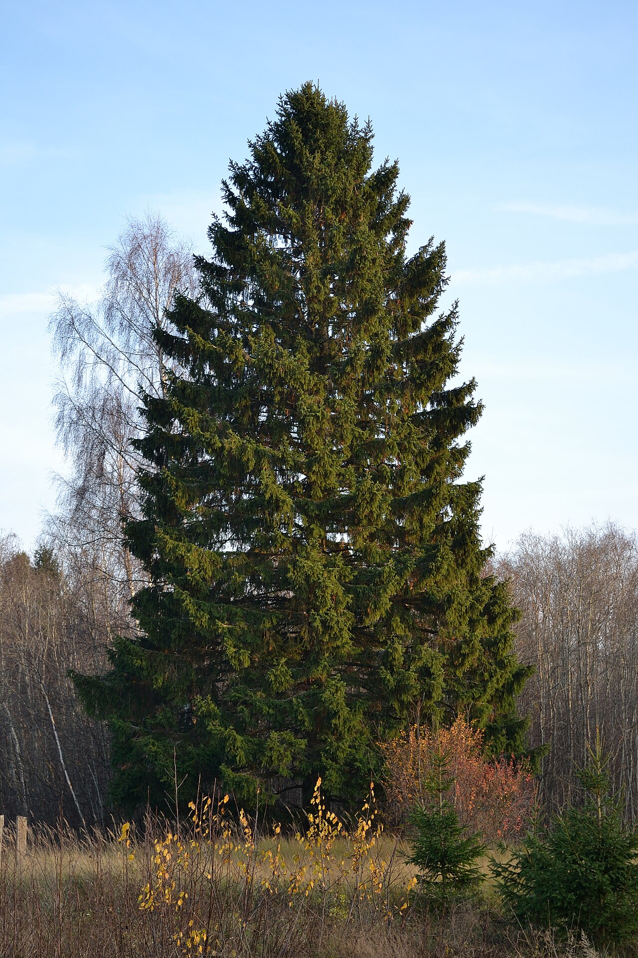 Christmas TreeEvergreen Conifer, exact kind not recorded · 1.4 mi
 Boundary stone by St Mary'sMonument or public art · 1.7 mi
 Scipio AfricanusMemorial · 1.7 mi
.jpg?width=1280) Blaise Castle House MuseumMuseum · 1.7 mi
Blaise Castle House MuseumMuseum · 1.7 mi Coombe HillMountain / peak · 2.0 mi
Other information
Photo: Chris Heaton · CC BY-SA 2.0