
What is recorded here
Southern Wood is shown as a forest on the public map of North Devon. The saved point is the map point or the centre of its mapped shape.
This does not grant access. Check current paths, opening conditions and ownership before entering.
Places near here
 Malmsmead BridgeListed building · 654 yd
 Southern BallMountain / peak · 689 yd
 Linear barrow and cairn cemetery on Cosgate Hill, circa 240m north-west of County Gate Visitor CentreScheduled monument · 765 yd
 County Gate Information Centre and Gate Piers in Front on Either Side of Road (that Part in Countisbury Cp)Listed building · 817 yd
 Sister´s FountainSpring · 1195 yd
 Waterfall in Yenworthy CoombeWaterfall · 1.1 mi
 Boundary StoneMonument or public art · 1.1 mi
 Cave, below Desolation PointCave or cavern · 1.2 mi
 Sugarloaf HillMountain / peak · 1.2 mi
 Copper WoodWood · 1.5 mi
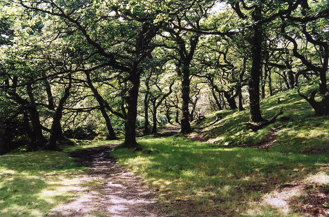 Brendon: Badgworthy WoodForest or wood · 1.7 mi
 The ForelandViewpoint · 2.7 mi
Other information
Photo: Chris Heaton · CC BY-SA 2.0