What is recorded here
Snobby Dick's Farm is shown as a archaeological place on the public map of Merthyr Tydfil. The saved point is the map point or the centre of its mapped shape.
This does not grant access. Check current paths, opening conditions and ownership before entering.
Places near here
.jpg?width=1280) Pen-y-GraigDwelling · 36 yd
Pen-y-GraigDwelling · 36 yd Stone sleepers on Trevithick TrailStanding or carved stone · 601 yd
.jpg?width=1280) Road Bridge over Merthyr Tramroad, Pont-y-Gwaith, TreharrisRoad Bridge · 621 yd
Road Bridge over Merthyr Tramroad, Pont-y-Gwaith, TreharrisRoad Bridge · 621 yd Pont y Gwaith, a stone bridge over River TaffStanding or carved stone · 802 yd
 St Tydfil Forest viewed from a Merthyr Vale benchForest or wood · 978 yd
 A gap in the trees, St Tydfil Forest, Merthyr ValeForest or wood · 1095 yd
 Craig-yr-EfailMountain / peak · 1355 yd
 Northeast corner of Beechgrove Cemetery, EdwardsvilleChurch, cross or graveyard · 1552 yd
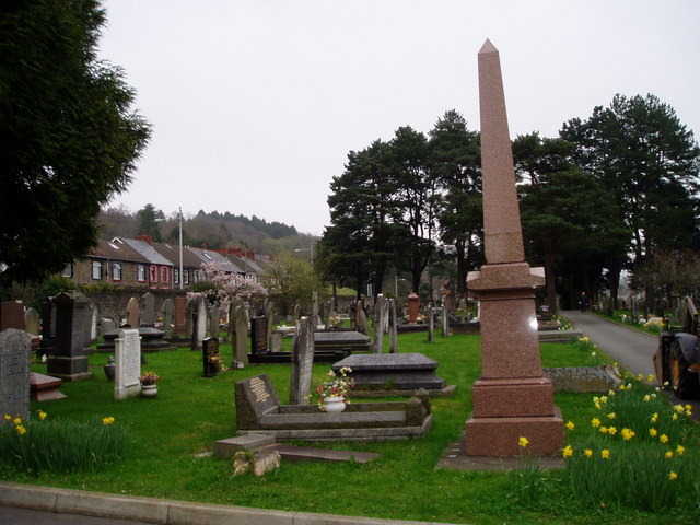 Beechgrove Cemetery, EdwardsvilleChurch, cross or graveyard · 1563 yd
 Slow down up Bells Hill, Merthyr ValeMountain or hill · 1.0 mi
 Bells Hill, Merthyr ValeMountain or hill · 1.0 mi
 Treharris Fire Station and training towerCastle, fort or tower · 1.1 mi