
What is recorded here
Slieve Croob is recorded as a mountain / peak in County Down. Its open map record supplies this location and any linked names or public references.
Slieve Croob rises to approximately 568 meters and is the highest peak in the Sperrin Mountains, known for its distinctive flat-topped summit. It is composed mainly of basalt and andesite, remnants of ancient volcanic activity, and is associated with local folklore, including tales of a hidden fairy population. The hill matters as a key landmark and for its role in the cultural and geological heritage of Northern Ireland.
Places near here
 Slieve Croob Transmitter Road walkWalking route · 992 yd
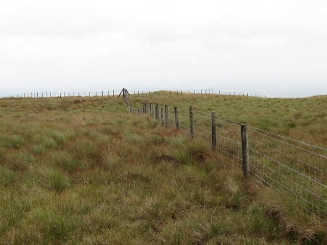 SlieveniskyMountain / peak · 1237 yd
 Pass LoaningWalking route · 1.1 mi
 Backaderry WoodForest · 1.6 mi
 Legananny Cross StoneMonument · 1.9 mi
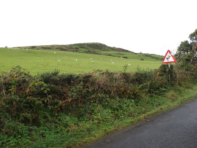 Dunturk MountainMountain / peak · 2.1 mi
 Legananny DolmenArchaeological place · 2.2 mi
 FORTIFICATION: McCARTAN'S CASTLE (unlocated) in MagheratimpanyFORTIFICATION: McCARTAN'S CASTLE (unlocated) · 3.6 mi
 SpinkaneeCliff · 3.6 mi
 Assembly RoomsAssembly Room · 3.8 mi
 Spa Presbyterian ChurchChurch · 3.9 mi
 Clarkhill WoodForest · 4.1 mi
Other information
Photo: Brian Shaw · CC BY-SA 2.0