
What is recorded here
Slieve Commedagh is recorded as a mountain / peak in County Down. Its open map record supplies this location and any linked names or public references.
Slieve Commedagh rises to approximately 450 meters and is part of the Mourne Mountains, composed mainly of gneiss and granite. It holds local significance as a landmark within the scenic and geologically diverse landscape of County Down.
Places near here
 The CastlesCliff · 730 yd
 Shan SlieveMountain / peak · 782 yd
 Slieve CorraghMountain / peak · 989 yd
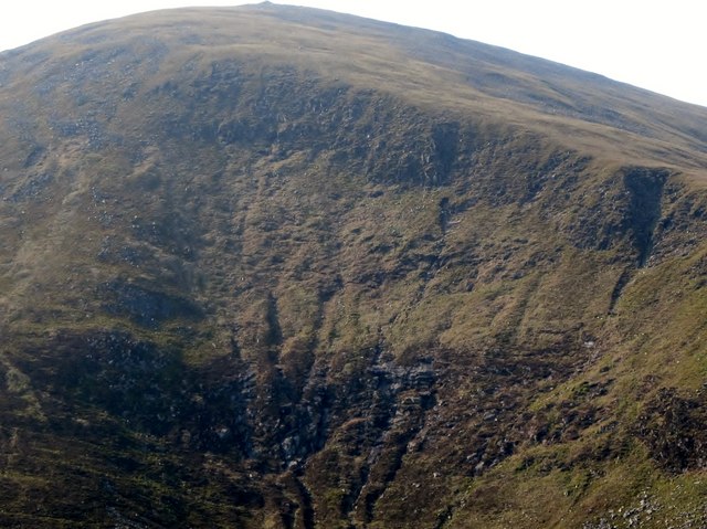 Eagle RockCliff · 1252 yd
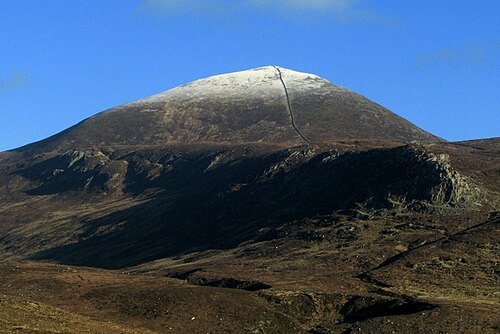 Slieve DonardMountain / peak · 1633 yd
 MULTIPLE CIST CAIRN: LESSER CARN in Ballaghbeg; Ballyaghanery UpperMULTIPLE CIST CAIRN: LESSER CARN · 1642 yd
 Black StairsWaterfall · 1.2 mi
 Ice HouseIce House · 1.3 mi
 Donard ForestForest · 1.6 mi
 Curraghard SummitViewpoint · 1.6 mi
 Tollymore Forest - The Drinns TrailWalking route · 1.7 mi
 Granite TrailWalking route · 1.8 mi
Other information
Photo: Ross · CC BY-SA 2.0