What is recorded here
Sleight Plantation is shown as a wood on the public map of Somerset. The saved point is the map point or the centre of its mapped shape.
This does not grant access. Check current paths, opening conditions and ownership before entering.
Places near here
 Helyar AlmshousesListed building · 661 yd
 Fir Tree CottageListed building · 763 yd
 Hatherstone WoodWood · 1326 yd
 East Coker boundary stone - HolywellMonument or public art · 1463 yd
 Coker WoodForest · 1.2 mi
 ObeliskMonument or public art · 1.6 mi
 Coker Hill Reservoir and Mobile Phone TransmitterMountain or hill · 1.8 mi
 Coker HillMountain / peak · 1.9 mi
 Waterfall, Nine Springs Country ParkWaterfall · 2.4 mi
 Small Waterfall in NinespringsWaterfall · 2.4 mi
 NinespringsVisitor information · 2.5 mi
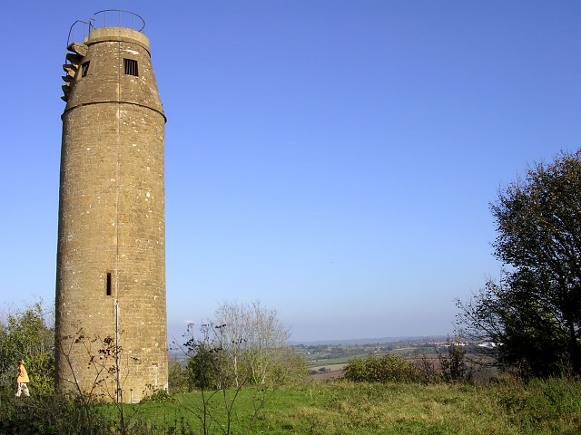 The tower on St Michael's Hill, MontacuteCastle, fort or tower · 4.0 mi