What is recorded here
Located on a S-facing slope and at the S edge of an area with mature deciduous trees. There is a N-S stream c. 10m to the E. This is reputed to be of 17th century date and it was owned by Cullen family until the post-famine period when it served as a hospital in a cholera epidemic, although Cullen is not amongst grantees of the 1620s (Mac an Ghallóglaigh 1971, 254). It was demolished c. 1850 after the Cullens had moved to Glenade House (Faughnan 1943, 142). This is a rectangular structure (int. dims 11.6m E-W; 6.6m N-S) of which only the SW angle survives (H c. 5m), and fragments of other walls (T 0.65-0.75m), which contain brick. There is an entrance porch (int. dims 2.6m E-W; 1.75m N-) with chamfered quoins at the centre of the N wall. There are no diagnostic features, but the house is probably 18th century.
Compiled by: Michael Moore
Date of upload: 26 January, 2016
The monument record does not grant public access. Check the route and ask the landowner before entering private land.
- What survives
- Recorded monument
Places near here
 Enclosure in Skreeny (drumahaire By.)Enclosure · 378 yd
 IndicatedFairy fort / earthen ringfort · 684 yd
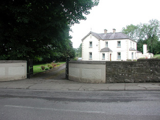 presbytery/parochial/curate's housepresbytery/parochial/curate's house · 793 yd
 Saint Clare's Catholic Churchchurch/chapel · 820 yd
 Giants RockNamed rock · 1.7 mi
 Kilroosk RockNamed rock · 1.8 mi
 The Giants GraveArchaeological place · 2.3 mi
 Ashisland WoodForest · 2.3 mi
 Longhill WoodForest · 2.6 mi
 Saddle HillMountain / peak · 3.0 mi
 BenboMountain / peak · 3.0 mi
 Castle CarCastle · 3.3 mi