What is recorded here
In pasture, on the E edge of Shrule village, located in an area of lowlying grassland bordered to SE by the Black River.
Shrule Abbey is a National Monument (no. 95) in state ownership. Little remains of the abbey. It is indicated on the 1838 OS 6-inch map as a rectangular shaded area (c. 25m E-W; c. 35-40m N-S), marked 'Site of Abbey', and on the 1929 edition as a hachured oval area (c. 16m N−S; c. 14m E−W), marked ‘Abbey (site of)’. The visible remains consist of a roughly rectangular, sod-covered stony rise (11m E-W; 13.4m N-S), with an uneven surface of rises and hollows. Protruding from the NW corner is a heap of masonry rubble. Centrally placed within the rectangular rise there is a smaller, slightly raised rectangular feature (9m N-S; 4.5m E-W; H 0.5m). These features may be the remains of a structure or building, but it is not possible to determine how they may relate to the original abbey.
The W side of the rectangular rise merges with a low, sod-covered relict field wall, which extends for c. 35-40m to S into the adjoining field. The N side of the rectangular rise also merges with a field boundary, which extends to ENE for c. 20m. These field boundaries appear to be part of a a relict field system (MA122A016----) visible in the surrounding modern fields to N, S and SW. A church (MA122A004-) is located c. 150m to N, and there is a rath (MA122A003-) c. 250m to N.
Compiled by: Jane O'Shaughnessy
Date of upload: 18 June 2018
The monument record does not grant public access. Check the route and ask the landowner before entering private land.
- What survives
- Recorded monument
Places near here
 Shrule AbbeyArchaeological place · 30 yd
 Church in ruinsChurch · 197 yd
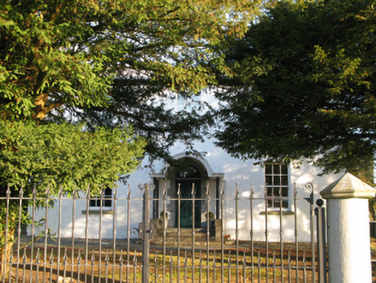 Shrule Housefarm house · 304 yd
 Enclosure in ShruleEnclosure · 313 yd
 Shrule CastleCastle · 343 yd
 Shrule Castle in ruinsCastle, hall-house · 347 yd
 Cregg PlantationForest · 1.1 mi
 Pesooge PlantationForest · 1.3 mi
 Ross Errilly FriaryHeritage attraction · 3.2 mi
 Otter IslandIslet · 6.3 mi
 Inis Mhic an TrírIsland · 6.7 mi
 School of FalconryHeritage attraction · 8.4 mi