What is recorded here
Urban excavation reveals seventeen-century siege defences and occupation layers just outside the city walls. The earth holds bricks, tools and lived traces from a time when the boundary between town and field depended on who held the guns.
The official Northern Ireland record identifies this as URBAN EXCAVATION - C17TH SIEGE DEFENCES & OCCUPATION SITE (just outside city walls). Recorded period: PREHISTORIC; POST-MED. The official map point was placed at the centre of the recorded archaeological site from the source map reference.
The monument record does not grant public access. Check the route and ask the landowner before entering private land.
- What survives
- Recorded monument
Places near here
 Double BastionViewpoint · 33 yd
 Derry GaolMonument · 97 yd
 C6th MONASTERY, PRE-NORMAN, MEDIEVAL ,POST-MED. & MODERN CHURCH & CATHEDRAL: TEMPLEMORE, DAIRE COLUMCILLE, DAIRE CALGAICH or DUBH REGLES in Derry; LondonderryC6th MONASTERY, PRE-NORMAN, MEDIEVAL ,POST-MED. & MODERN CHURCH & CATHEDRAL: TEMPLEMORE, DAIRE COLUMCILLE, DAIRE CALGAICH or DUBH REGLES · 154 yd
 Church BastionViewpoint · 164 yd
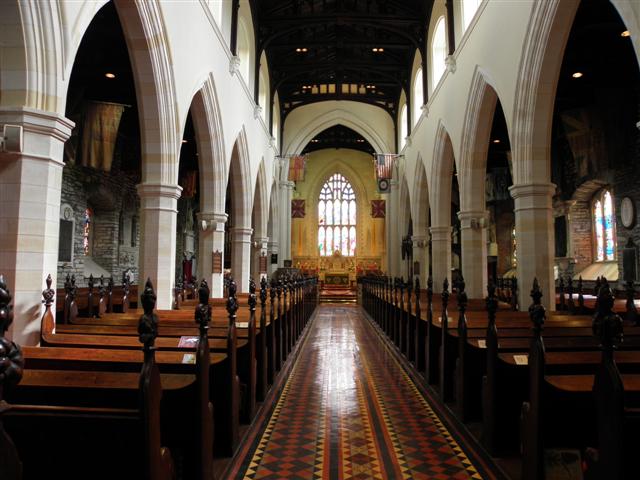 CATHEDRAL in Derry; LondonderryCATHEDRAL · 177 yd
 St. Augustine's ChurchChurch · 185 yd
 Seán Ó CianáinMemorial · 226 yd
 Siege Heroes MemorialMonument · 244 yd
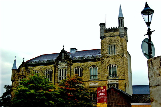 Apprentice Boys of Derry and Siege MuseumMuseum · 246 yd
 Museum of Free DerryMuseum · 410 yd
 Foyle Valley Railway MuseumMuseum · 479 yd
 Battle of the BogsideMajor battlefield · 514 yd