What is recorded here
On scree-strewn, rough, S sloping pasture, overlooking Lough Currane to S. A rectangular structure (KE098-103----) defined by a series of uprights averaging .5m high.
A second overgrown structure (KE098-103001-) of rectangular plan lies 5.25m to NE. D: 3m x 1.7m. H: 1.5m. T: .7m.
The above description is derived from A. O'Sullivan and J. Sheehan (compilers), 'The Iveragh peninsula: an archaeological survey of South Kerry'. Cork University Press (1996), no. 1401. In certain instances the entries have been revised and updated in the light of recent research.
Date of upload: 1 August 2013
The monument record does not grant public access. Check the route and ask the landowner before entering private land.
- What survives
- Recorded monument
Places near here
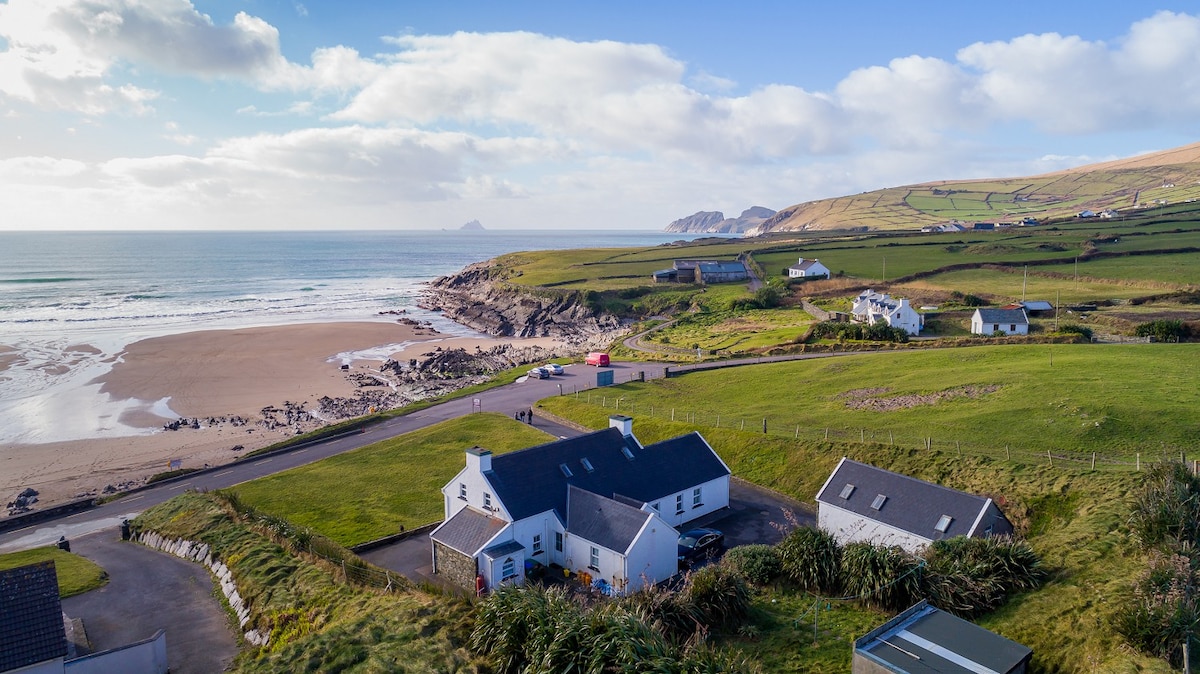 St Finans WellHoly well · 957 yd
 Leacht in TermonsLeacht · 1062 yd
 St Finans CellHouse, early medieval · 1387 yd
 St Finans ChurchChurch · 1512 yd
 Butler MemorialMemorial · 1.9 mi
 T. C. Millerick MemorialMemorial · 2.0 mi
 CastleCastle, tower house · 2.0 mi
 CoomduffMountain / peak · 2.0 mi
 Waterville PromenadeWalking route · 2.1 mi
 An PlaoscHeadland · 2.4 mi
 Inny StrandBeach / strand · 2.7 mi
 An Bheann MhórMountain / peak · 2.8 mi