What is recorded here
On rough, scree-strewn, S sloping grazing land, overlooking Lough Currane to S. Built against the townland boundary at E, the poorly preserved foundations of a drystone hut KE098-012----. Earth and stone debris fills the interior. Overall diameter: 4.6m. H: .5m. T: 1.3m.
Close to the hut at W is a substantial drystone wall, 12m long, which may be related. Other ruined structures (KE098-012001-) in the near vicinity may have been huts.
The above description is derived from A. O'Sullivan and J. Sheehan (compilers), 'The Iveragh peninsula: an archaeological survey of South Kerry'. Cork University Press (1996), no. 1399. In certain instances the entries have been revised and updated in the light of recent research.
Date of upload: 1 August 2013
- Townland
- Termons
- Official type
- Hut site
- Official record
- KE098-012----
- What survives
- Recorded monument
- Location
- Official recorded centre point
The monument record does not grant public access. Check the route and ask the landowner before entering private land.
Places near here
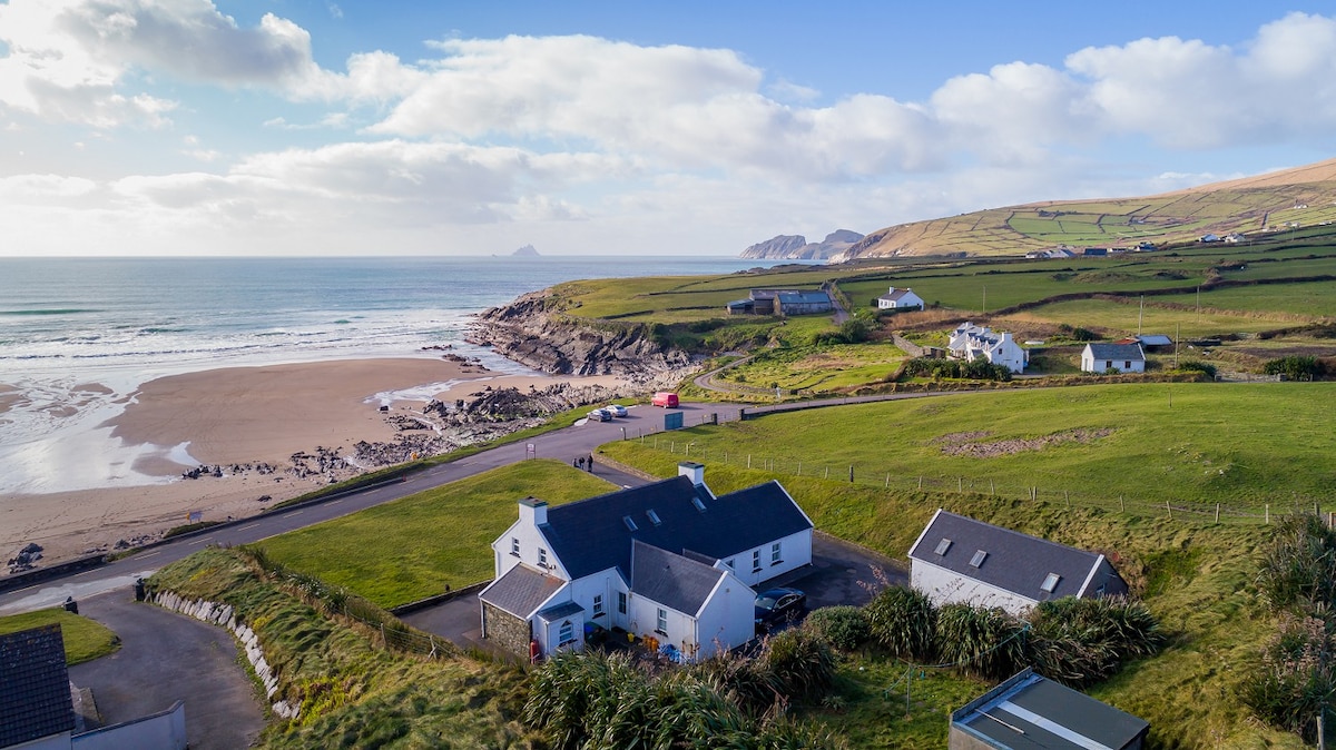 St Finans Well — An Chathair BhearnachHoly well · 532 yd
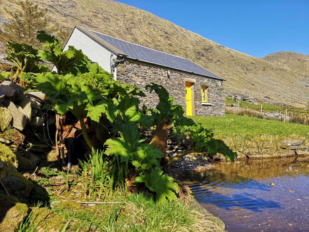 Hut site in An Chathair BhearnachHut site · 742 yd
 Church IslandIslet · 1527 yd
 CoomduffMountain / peak · 1.8 mi
 Iveragh Lodge — Watervillehunting/fishing lodge · 2.0 mi
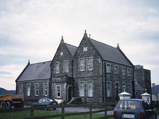 The Cable Station — Watervillecoastguard station · 2.0 mi
 Butler MemorialMemorial · 2.2 mi
 Castle — tower house in Lough CurraneCastle — tower house · 2.2 mi
 T. C. Millerick MemorialMemorial · 2.3 mi
 An PlaoscHeadland · 2.3 mi
 Waterville PromenadeWalking route · 2.3 mi
 An Bheann MhórMountain / peak · 2.8 mi