What is recorded here
Sheepfold is shown as a archaeological place on the public map of Somerset. The saved point is the map point or the centre of its mapped shape.
This does not grant access. Check current paths, opening conditions and ownership before entering.
Places near here
 Cheriton Ridge, South East prehistoric stone rowAncient stone or rock art · 942 yd
 Hoaroak Cottage, North West prehistoric stone rowAncient stone or rock art · 963 yd
 Hoaroak HillMountain / peak · 1029 yd
 Chains BarrowMountain / peak · 1.0 mi
 Mini-waterfall on Thorn HillWaterfall · 1.1 mi
 Exe HeadSpring · 1.1 mi
 Iron Age defended settlement called Roborough CastleScheduled monument · 2.0 mi
 South Stock Farmhouse with Piggery and Boundary WallListed building · 2.4 mi
 Brendon BartonListed building · 2.6 mi
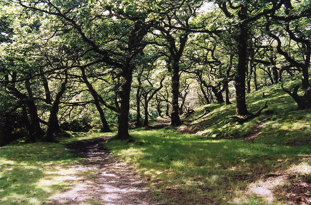 Brendon: Badgworthy WoodForest or wood · 3.4 mi
 Welcome to Lynton & LynmouthVisitor information · 3.6 mi
 Southern WoodForest · 4.1 mi