What is recorded here
A circular and a rectangular hut on the SE slopes of Killelan mountain, overlooking Doulus Bay and Lough Kay.
(1) KE079-008---- The well-preserved circular hut features a splayed, lintelled entrance at SE, .5m wide at base. Almost opposite, on the internal wall-face, is a small wall-niche. D: 3.4m. H: 2.3m. T: .8m.
(2) KE079-008001- The foundations of the rectangular hut are located 7m to E. Two collapsed, corbelled sheepfolds occupy its interior. D: 5.5m x 1.6m.
A number of old field fences occur in the vicinity; one contains a corbelled recess on its E side.
The above description is derived from A. O'Sullivan and J. Sheehan (compilers), 'The Iveragh peninsula: an archaeological survey of South Kerry'. Cork University Press (1996), no. 1316. In certain instances the entries have been revised and updated in the light of recent research.
Date of upload: 1 August 2013
The monument record does not grant public access. Check the route and ask the landowner before entering private land.
- What survives
- Recorded monument
Places near here
 SheepfoldHut site · 308 yd
 Killelan MountainMountain / peak · 813 yd
 Promontory fortPromontory fort, coastal · 850 yd
 Beginish IslandIsland · 1.2 mi
 White Strand BeachBeach / strand · 1.2 mi
 Church in Beginish (iveragh By.)Church · 1.3 mi
 KilnKiln, corn-drying · 1.5 mi
 Cromwell PointHeadland · 1.7 mi
 Ballycarbery Castle (in ruins)Castle, hall-house · 1.7 mi
 CastleCastle, unclassified · 1.7 mi
 Ballycarbery CastleRuins · 1.7 mi
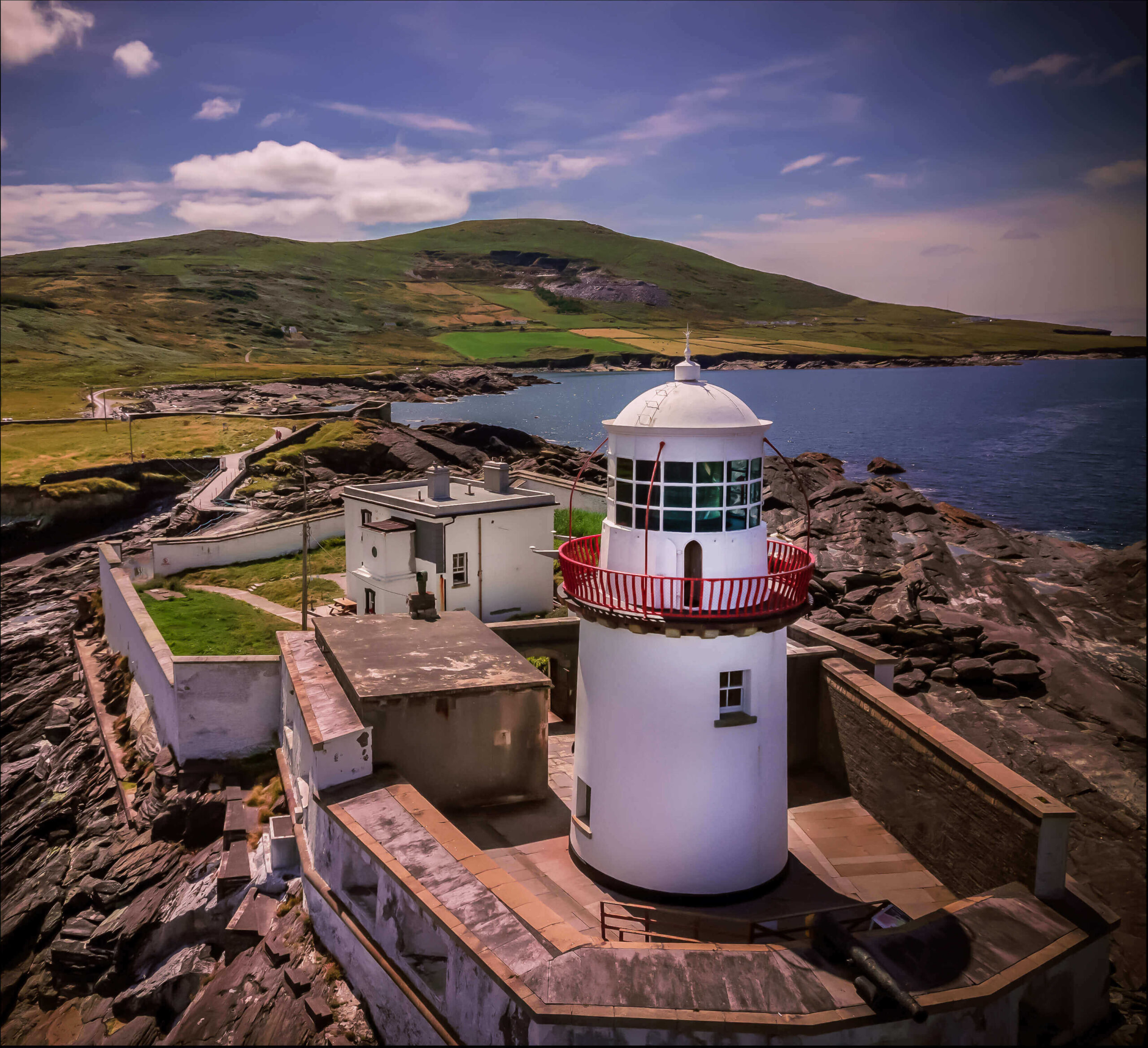 Valentia Island LighthouseMuseum · 1.7 mi