_-_geograph.org.uk_-_3608963.jpg)
What is recorded here
The official Northern Ireland record identifies this as a Grade B1 listed building. Recorded construction date: 1700 - 1719. Current recorded use: Bridge.
The official record and map point do not grant access. Many historic buildings are privately owned; view them only from public ground unless the owner allows entry.
Places near here
_-_geograph.org.uk_-_2635551.jpg?width=1280) Malone HouseHouse · 374 yd
Malone HouseHouse · 374 yd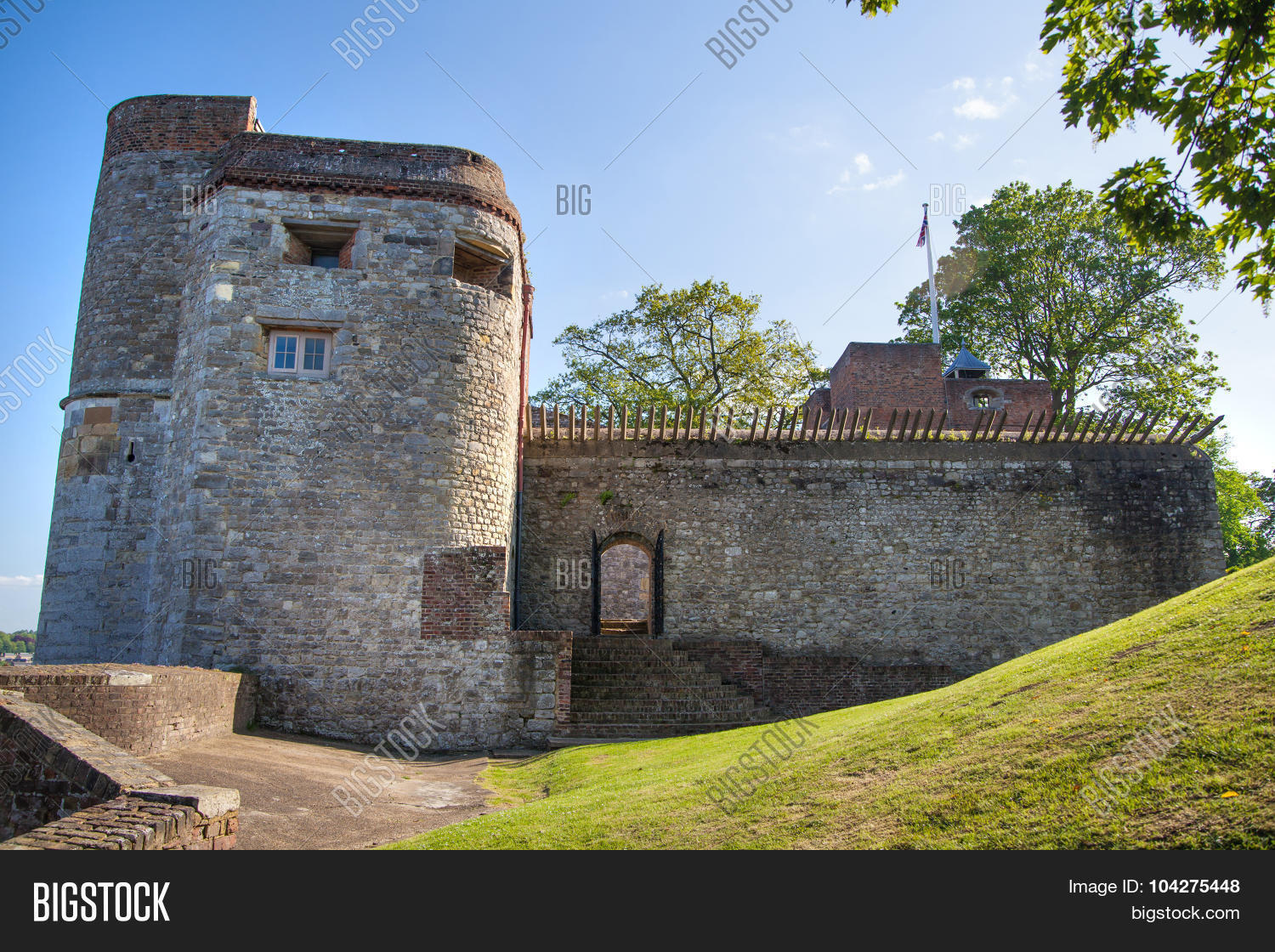 ARTILLERY FORT, FORTIFIED HOUSE & BAWN (site of) in Malone UpperARTILLERY FORT, FORTIFIED HOUSE & BAWN (site of) · 374 yd
 Boundary Post nearBoundary Marker · 445 yd
 MinnowburnVisitor information · 500 yd
 ENCLOSURE in BallynavallyENCLOSURE · 614 yd
 C-shaped enclosure (Barrie Hartwell ref. BNH 14) in BallynahattyC-shaped enclosure (Barrie Hartwell ref. BNH 14) · 1017 yd
 Giant's Ring Circular WalkWalking route · 1027 yd
 Belvoir Oak WoodWood · 1216 yd
 Giants RingHeritage attraction · 1463 yd
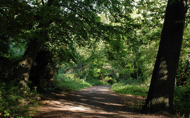 Lagan MeadowsNature reserve · 1597 yd
 Highway to Health, CastlereaghWalking route · 1691 yd
 FORTIFIED HOUSE & ?BAWN (unlocated): MOSES HILL'S HOUSE in Malone LowerFORTIFIED HOUSE & ?BAWN (unlocated): MOSES HILL'S HOUSE · 1.5 mi
Other information
Photo: Albert Bridge · CC BY-SA 2.0