What is recorded here
No exact location or date is missing; the facts only say an unlocated settlement site exists in Ballyvaston, County Down. That much is enough to picture people living there, not a builder erecting a monument for others to admire. They would have known the soil, the weather and the reasons for staying. The absence of a precise point does not erase the settlement; it withholds one detail while the human part remains plain.
The official Northern Ireland record identifies this as SETTLEMENT SITE (unlocated). Recorded period: UNCERTAIN. The official map point was placed at the centre of the recorded archaeological site from the source map reference.
The monument record does not grant public access. Check the route and ask the landowner before entering private land.
- What survives
- Recorded monument
Places near here
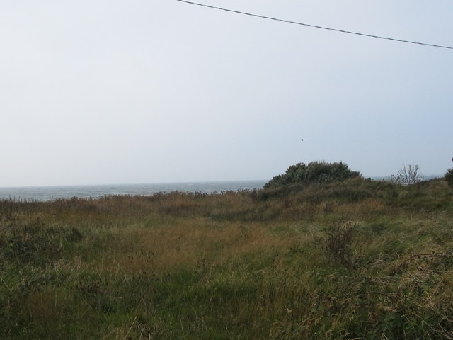 Rossglass BeachBeach / strand · 1702 yd
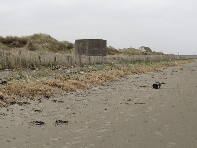 Tyrella BeachBeach / strand · 1.0 mi
 Glebe HouseHouse · 1.3 mi
 Rathmullan Parish ChurchChurch · 1.3 mi
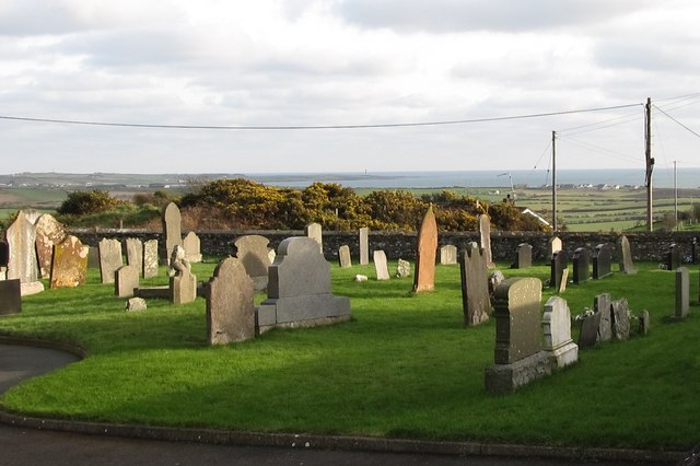 MEDIEVAL CHURCH (site of) & GRAVEYARD; RATHMOLYN in Rathmullan UpperMEDIEVAL CHURCH (site of) & GRAVEYARD; RATHMOLYN · 1.4 mi
 MULTIPERIOD CHURCH SITE & GRAVEYARD with STONE-LINED GRAVES & HOLY WELL: BRETTAN in BrightMULTIPERIOD CHURCH SITE & GRAVEYARD with STONE-LINED GRAVES & HOLY WELL: BRETTAN · 1.7 mi
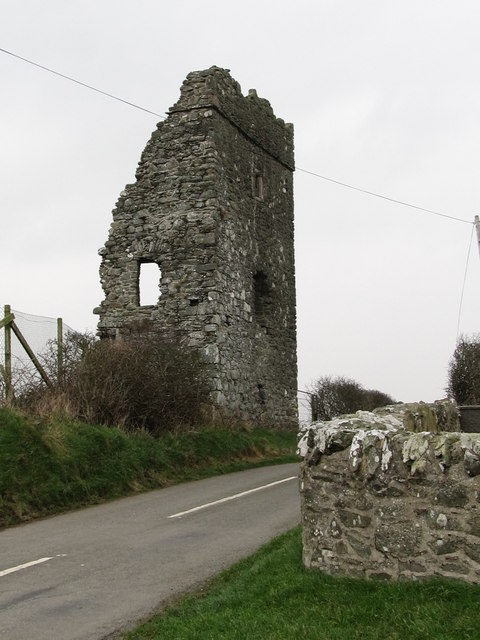 Castle BrightCastle · 1.7 mi
 Water Safety Information - Rope Walk KilloughVisitor information · 2.9 mi
 Castle ScreenCastle · 2.9 mi
 Water Safety Information - Killough Harbour (Castle)Visitor information · 3.1 mi
 Curlew PointHeadland · 3.2 mi
 Hollymount ForestWood · 4.7 mi