What is recorded here
No certain date, no visible ruin, only a river ford where life repeated itself. People crossed there because the water allowed it, perhaps built shelters nearby, perhaps vanished before memory ended. The site resists certainty, but the ford remains true: a narrow place where human wanting and river current met without warning.
The official Northern Ireland record identifies this as SETTLEMENT SITE - RIVER FORD. Recorded period: UNCERTAIN. The official map point was placed at the centre of the recorded archaeological site from the source map reference.
The monument record does not grant public access. Check the route and ask the landowner before entering private land.
- What survives
- Recorded monument
Places near here
_-_geograph.org.uk_-_3860564.jpg?width=1280) The Former St. Malachy's SchoolWarehouse · 64 yd
The Former St. Malachy's SchoolWarehouse · 64 yd Queen's BridgeBridge · 91 yd
 Francis Calder Commemorative FountainHeritage attraction · 278 yd
 The Dome at Victoria SquareViewpoint · 294 yd
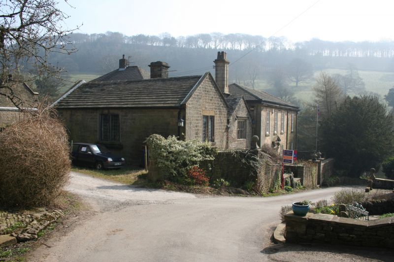 MEDIEVAL & EARLIER CHURCH SITE: CHAPEL OF THE FORD in Town ParksMEDIEVAL & EARLIER CHURCH SITE: CHAPEL OF THE FORD · 312 yd
 Albert Memorial ClockHeritage attraction · 315 yd
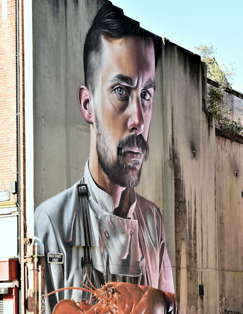 High StreetVisitor information · 320 yd
 Queen Victoria MonumentMonument · 679 yd
_-_geograph.org.uk_-_6089634.jpg?width=1280) 5 Donegall QuayHouse · 122 yd
5 Donegall QuayHouse · 122 yd Old Town HallCourt House · 221 yd
 Malmaison HotelHotel · 227 yd
 Jaffe Memorial FountainFountain · 227 yd