What is recorded here
A cluster of linear and curvilinear earthworks identified on an aerial photograph (CUCAP AIF043, 22 July 1963). These are on either side of a relict roadway (Wth c. 10m) which runs NNE-SSW for c. 220m. It is possible that some of earthworks, particularly those running NW-SE from the lower E side of the roadway, may represent burgage plots (Wth c. 14-17m; L c. 80m).
See attached:
KK027-047----_01 aerial photograph (CUCAP AIF043, 22 July 1963)
KK027-047----_02 OS Ortho satellite imagery, 2005-2012
KK027-047----_03 DigitalGlobe satellite imagery, 2011-2013
Compiled by: Jean Farrelly
Date of upload: 4 April 2023
The monument record does not grant public access. Check the route and ask the landowner before entering private land.
- What survives
- Recorded monument
Places near here
 Stonecarthy Deserted VillageArchaeological place · 83 yd
 Grave YardGraveyard · 364 yd
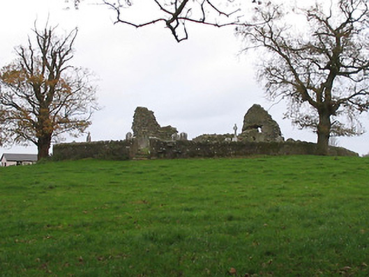 Stonecarthy Catholic Churchchurch/chapel · 368 yd
 R.C. Chapel (in ruins)Church · 368 yd
 Site of Village Well 1810-1950Memorial · 1568 yd
 Site of Lee's ForgeMemorial · 1573 yd
 Turkey OakTurkey Oak · 1.2 mi
 Coortaur Castle (in ruins)Castle, unclassified · 1.6 mi
 Kells Augustinian PrioryHeritage attraction · 1.8 mi
 Prior's TowerCastle · 1.8 mi
 Kells Loop WalkWalking route · 1.9 mi
 Pedunculate OakPedunculate Oak · 2.0 mi