What is recorded here
A deserted medieval settlement in County Kilkenny still shows a broad relict roadway and possible burgage plots, suggesting a small town once thrived before fading from memory. The earthworks preserve the shape of lost streets and homes, while the empty land holds the silence of people who lived there long before satellites could see them.
A cluster of linear and curvilinear earthworks identified on an aerial photograph (CUCAP AIF043, 22 July 1963). These are on either side of a relict roadway (Wth c. 10m) which runs NNE-SSW for c. 220m. It is possible that some of earthworks, particularly those running NW-SE from the lower E side of the roadway, may represent burgage plots (Wth c. 14-17m; L c. 80m).
See attached:
KK027-047----_01 aerial photograph (CUCAP AIF043, 22 July 1963)
KK027-047----_02 OS Ortho satellite imagery, 2005-2012
KK027-047----_03 DigitalGlobe satellite imagery, 2011-2013
Compiled by: Jean Farrelly
Date of upload: 4 April 2023
The monument record does not grant public access. Check the route and ask the landowner before entering private land.
- What survives
- Recorded monument
Places near here
 Stonecarthy Deserted VillageArchaeological place · 83 yd
 Grave YardGraveyard · 364 yd
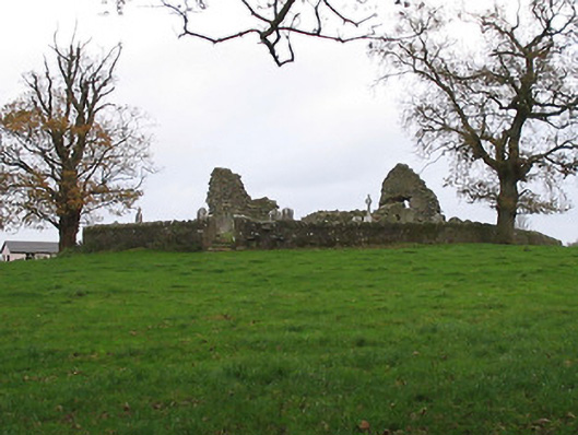 Stonecarthy Catholic Churchchurch/chapel · 368 yd
 R.C. Chapel (in ruins)Church · 368 yd
 Site of Village Well 1810-1950Memorial · 1568 yd
 Site of Lee's ForgeMemorial · 1573 yd
 Turkey OakTurkey Oak · 1.2 mi
 Coortaur Castle (in ruins)Castle, unclassified · 1.6 mi
 Kells Augustinian PrioryHeritage attraction · 1.8 mi
 Prior's TowerCastle · 1.8 mi
 Kells Loop WalkWalking route · 1.9 mi
 Pedunculate OakPedunculate Oak · 2.0 mi