What is recorded here
The Banckes vanished from the Bride river terrace before Walter Ralegh mapped it in 1598, leaving behind a rectangular chamber with fine cobbling and a narrow dividing gap. Franc Myles cut through the soil in 1992 to reveal robber trenches and shallow pits, yet no charcoal or pottery emerged to date the abandonment. The chamber may have housed a partition or a door, but the river took the answer, preserving only the shape of a room that stopped being lived in.
On low river terrace on N bank of Bride river, c. 300m SW of site of Carrigeen Hall. Settlement named 'The Banckes' marked on Walter Ralegh's Mogeely map of 1598, depicted as 3-4 'English type' houses; curvilinear boundary suggested to E of site with gateway into lane leading E to road. Excavations 1992 by Franc Myles for Dr. Eric Klingelhofer revealed ditch (Wth 1.5m; D 0.5m) to E, curving to N and NE; all other archaeological activity in trench confined within ditch to W. Second trench to W exposed rectangular structure (int. L 11m NW-SE) defined by probable robber trenches for walls, fine internal cobbling. Divided in two (int. L NW rood mm 5.2m) by cross trench with gap (Wth 0.6m); central slot (NW-SE) in cobbling or NW room possibly housed wall plate for timber partition. Three pits parallel to and to S of slot too shallow to hold structural posts (Wth 0.6m; D 0.2m). Roughly cobbling external to structure to E. No dating material found but features probably of Plantation period. Further excavations planned for 1993.
See Excavations 1992, 6-7; Excavations 1994, 10
The above description is derived from the published 'Archaeological Inventory of County Cork. Volume 2: East and South Cork' (Dublin: Stationery Office, 1994). In certain instances the entries have been revised and updated in the light of recent research.
Date of upload/revision: 14 January 2009
The monument record does not grant public access. Check the route and ask the landowner before entering private land.
- What survives
- Recorded monument
Places near here
 IndicatedKiln, lime · 503 yd
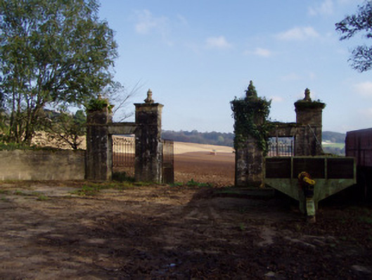 Castle Viewgates/railings/walls · 621 yd
 Mogeely CastleCastle · 770 yd
 Graveyard in Curraheen (kinnatalloon By.)Graveyard · 1298 yd
 Field system in ConnaField system · 1.1 mi
 Enclosure in ConnaEnclosure · 1.1 mi
 Castlebrook forestWood · 1.3 mi
 Conna Castle (in Ruins)Castle, tower house · 1.3 mi
 Aghern CemeteryWood · 3.3 mi
 Tallow HillMountain / peak · 3.5 mi
 Mocollop Picnic SitePicnic place · 3.6 mi
 Natural heritage of CoolagowanVisitor information · 5.0 mi
Other information
Photo: Credit not shown in the picture search · Rights wording not checked; contact us if this picture should be removed