What is recorded here
The Civil Survey (1654-6) refers to a castle and thatched house at Tullamain in 1640, as well as 'severall other Cottages and Cabbins' (Simington 1931, vol. 1, 206). There is no visible trace above ground of this possible nucleated settlement. It is likely that it was located between the medieval church (TS069-045002-) and the motte and bailey (TS069-045003-) and the castle (TS069-045001-). According to local information quarrying had taken place in the past (at least 20 years ago) in the field between the church and the motte and bailey and the field was subsequently reclaimed. However, as the exact location of the settlement is unknown it is unlocated within the townland.
Compiled by: Jean Farrelly
Date of upload: 26 August 2011
This remains an important historical record, but the official description says the monument is no longer visible or has been destroyed. The monument record does not grant public access. Check the route and ask the landowner before entering private land.
- What survives
- No visible remains or recorded as destroyed
Places near here
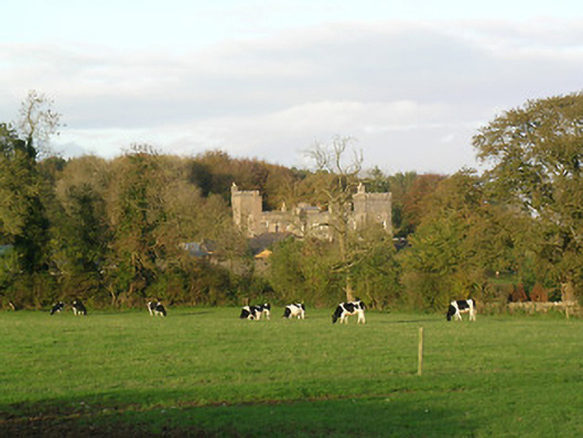 Tullamain Castlecountry house · 20 yd
 Tullamain MoatCastle, motte and bailey · 317 yd
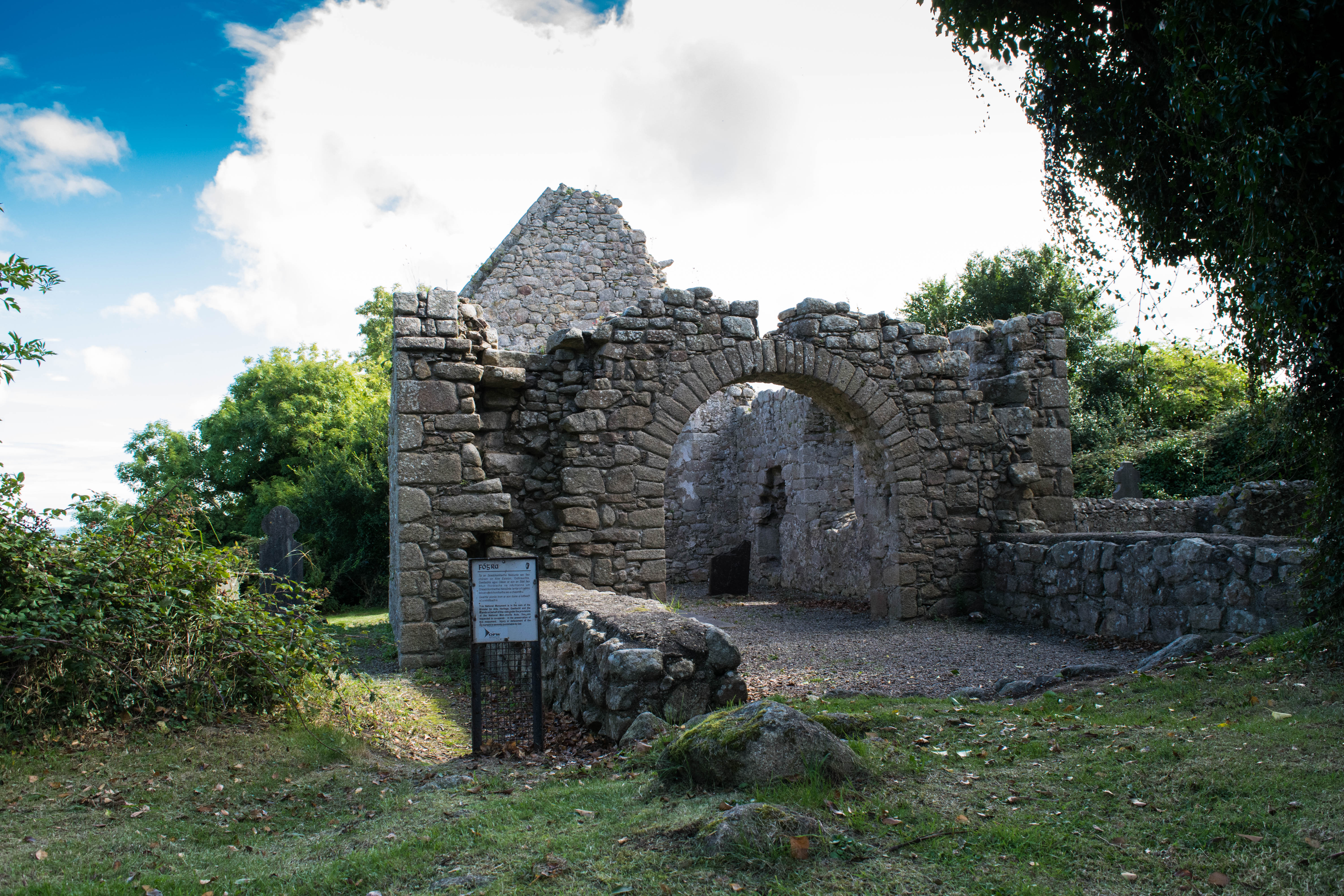 Tullamain Church (in ruins)Church · 322 yd
 Enclosure in RathsallaghEnclosure · 1.4 mi
 St. Nicholas WellHoly well · 1.5 mi
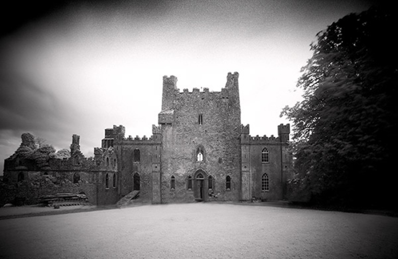 Castle Blake in ruinsCastle, tower house · 1.7 mi
 European YewEuropean Yew · 3.5 mi
 Pedunculate OakPedunculate Oak · 4.4 mi
 Cashel Folk MusuemMuseum · 5.7 mi
 Ballyknock HillMountain / peak · 5.9 mi
 The Rock Of CashelVisitor information · 5.9 mi
 Cormac's ChapelHeritage attraction · 5.9 mi