What is recorded here
Rathcash West held a preserved medieval village with rectangular and circular structures linked by trackways until 2011. Men opened trenches during the 1983 gas pipeline work but found no material, leaving the place's exact age unknown. The earthworks stood visible in a 2005 satellite image, then vanished after the field was reclaimed and levelled. What remained was a temporary shadow on the ground, not a lasting record.
In gently undulating low-lying terrain, in mixed tillage and pasture. Identified during the construction of the Cork-Dublin gas pipeline in 1983 (Lehane 1983, 266-7). Described as 'a deserted village of possible medieval date. The village is well preserved and several rectangular and circular structures with interconnecting trackways are visible on the ground' (ibid.). A number of excavation trenches were opened but no archaeological material was uncovered (ibid). The date of this settlement is unknown. A satellite image (Google Earth) taken in November 2005 shows the settlement earthworks with a tillage field immediately to the W and an irregular tillage field to the N. Another satellite image (Google Earth) taken in April 2011 shows that the field has been reclaimed and the earthworks levelled.
See attached satellite imagery:
KK020-041----_01 satellite image Google Earth, 20 November 2005
KK020-041----_02 satellite image, OS ortho
Compiled by: Jean Farrelly
Date of upload: 8 December 2020
The monument record does not grant public access. Check the route and ask the landowner before entering private land.
- What survives
- Recorded monument
Places near here
 Enclosure in BlanchvillestownEnclosure · 736 yd
 Enclosure in Blanchville DemesneEnclosure · 1047 yd
 Kylebeg Church (in ruins)Church · 1157 yd
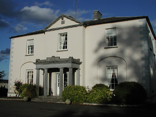 Blanchville Housecountry house · 1523 yd
 Site of Blanchville CastleCastle, unclassified · 1602 yd
 HawthornHawthorn · 1725 yd
 Clifden CastleCastle, tower house · 1.1 mi
 St. Mogarra’s WellSpring · 2.4 mi
 Dunbell Big RingfortWood · 2.9 mi
 Time CapsuleMemorial · 4.0 mi
 Tullaherin Church and Round TowerVisitor information · 4.2 mi
 Kilbline GraveyardArchaeological place · 4.6 mi