What is recorded here
According to local information this field was known as 'Tatterstreet' and there had been earthen banks and platforms along a 'hollow-road'. Before field inspection in 1987 the field had been recently reclaimed and ploughed and no earthworks were visible at ground level.
Compiled by: Jean Farrelly
Date of upload: 3 April 2020
The monument record does not grant public access. Check the route and ask the landowner before entering private land.
- What survives
- Recorded monument
Places near here
 Tubbrid Upper RingfortArchaeological place · 467 yd
 TobermurryHoly well · 532 yd
 Church (in Ruins)Church · 540 yd
 Tubbrid Castle (in ruins)Castle, tower house · 679 yd
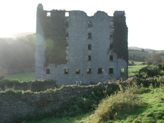 Clomantagh Millsmill (water) · 744 yd
 CastleCastle, tower house · 1351 yd
 Kildrinagh WoodForest · 1.8 mi
 Clomantagh HillMountain / peak · 2.1 mi
 John HelyMemorial · 4.0 mi
 DelaneyMemorial · 4.1 mi
 Deerpark WoodWood · 4.6 mi
 Anker's IslandIsland · 8.2 mi