What is recorded here
A cluster of four houses shown in Curraghadooey townland on a 1701 Trustees Survey map (NLI microfilm, no. 645, p. 31). The precise location of the houses within the townland is unknown.
Compiled by: Jane O'Shaughnessy
Date of upload: 24 February 2023
The monument record does not grant public access. Check the route and ask the landowner before entering private land.
- What survives
- Recorded monument
Places near here
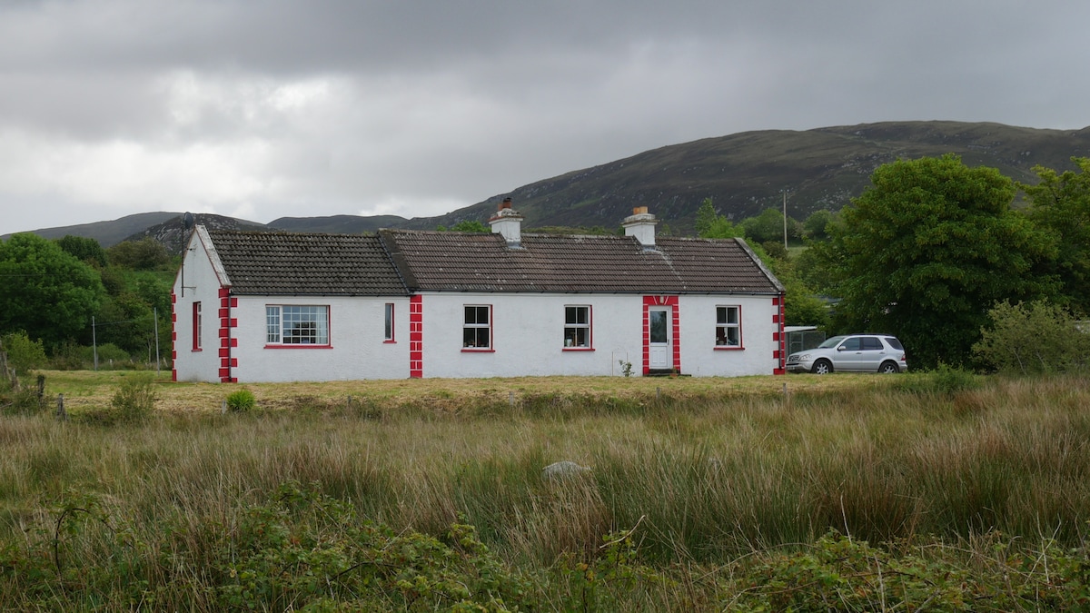 LisnacoolabaunArchaeological place · 704 yd
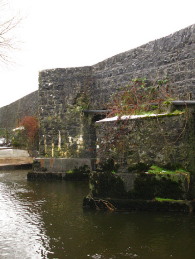 Crossboyne Bridgebridge · 1.2 mi
 All Souls' Church (Crossboyne)church/chapel · 1.2 mi
 Geoffrey's WoodForest · 1.4 mi
 CastlemagarretCastle · 1.6 mi
 Bawn in Castlemagarretpark OldBawn · 1.6 mi
 Enclosure in Derry (clanmorris By., Crossboyne Par.)Enclosure · 1.6 mi
 Oak WoodForest · 2.2 mi
 Land of the GiantsHeritage attraction · 3.1 mi
 Mass RockNamed rock · 11 mi
 Easter IslandIslet · 14 mi
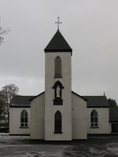 Saint Mary's Catholic Churchchurch/chapel · 1.2 mi