What is recorded here
In a description of the parish of Cordangan the Civil Survey (1654-6) states that 'Through the s[ai]d. Towne of Cordangen runns the River called Arra' and that the proprietor in 1640 was 'William oge Ryan of Cordangen Esqr. Irish Papist' (Simington 1934, vol. 2, 28). This suggests that there was a settlement in Cordangan, possibly associated with the castle (TS067-055----) and church (TS067-056----), though the precise location within the townland is unknown.
Compiled by: Jean Farrelly
Date of upload: 28 January 2013
The monument record does not grant public access. Check the route and ask the landowner before entering private land.
- What survives
- Recorded monument
Places near here
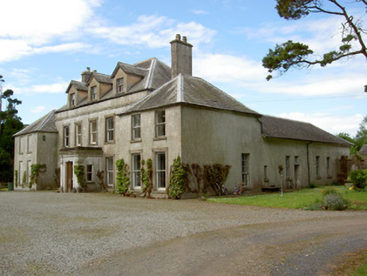 Cordangan Manorcountry house · 138 yd
 Cordangan Church (in ruins)Church · 315 yd
 Cordangan Castle ruinsCastle · 337 yd
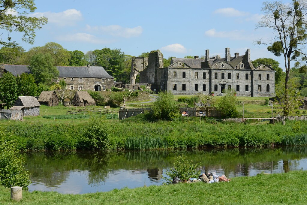 Enclosure in Lacken (cordangan Par.)Enclosure · 1365 yd
 Bansha ForestForest · 1.1 mi
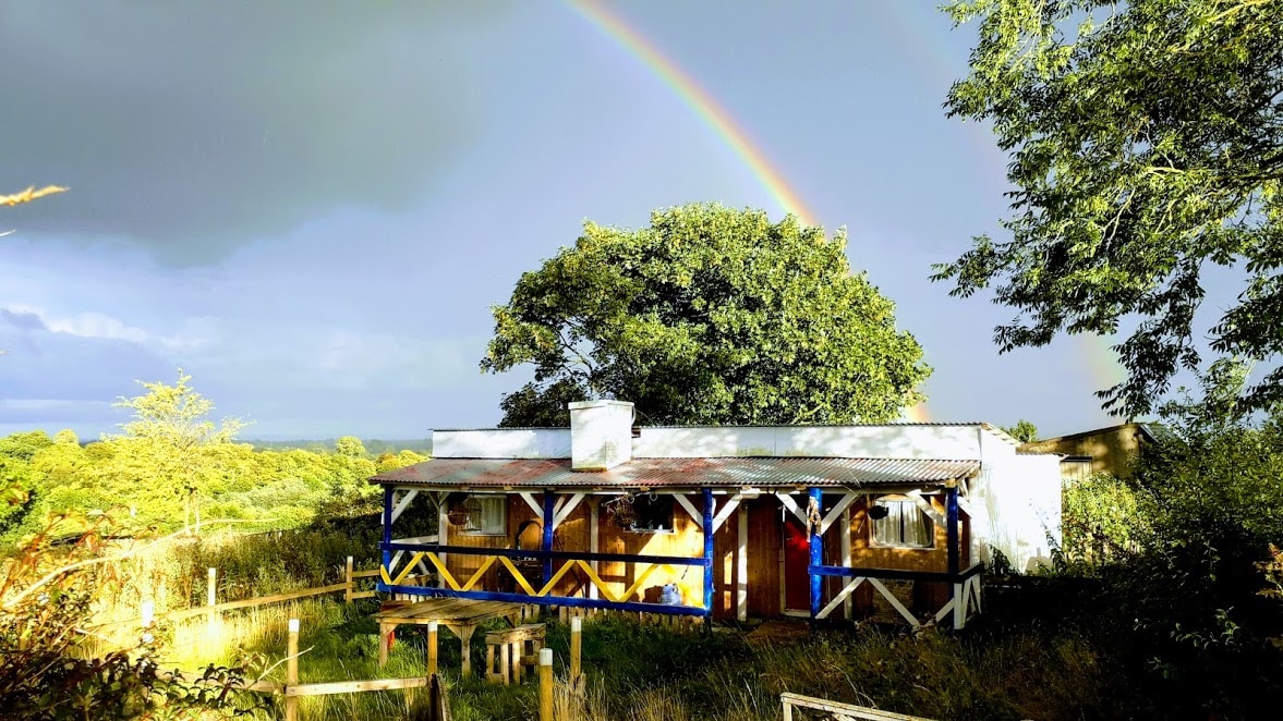 Enclosure in Ballyglass Lower (clonpet Par.),ballyglass Lower (cordangan Par.)Enclosure · 1.1 mi
 The RockViewpoint · 1.2 mi
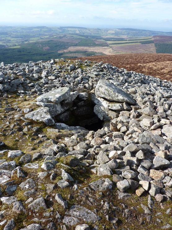 Site of Seefin CastleCastle, unclassified · 1.5 mi
 I.R.A. 3rd. Tipperary Brigade MemorialMemorial · 1.8 mi
 It's a long way to TippereryHeritage attraction · 1.9 mi
 The Maid of ErinMemorial · 1.9 mi
 Christ the KingViewpoint · 1.9 mi