What is recorded here
According to Power (1952, 216) there was a place called 'Seana Shráid' - the old street - at Ballynamoyntragh that could be interpreted as a settlement. It remains unlocated.
Power, Rev. P. (1952) The placenames of the Decies. (second ed.) Cork University Press.
Compiled by: Michael Moore
Date of upload/revision: 10 June 2011
The monument record does not grant public access. Check the route and ask the landowner before entering private land.
- What survives
- Recorded monument
Places near here
 Enclosure in BallynamoyntraghEnclosure · 674 yd
 Windmill (in Ruins)Windmill · 811 yd
 Main ForestWood · 1.8 mi
 Lower ForestWood · 1.8 mi
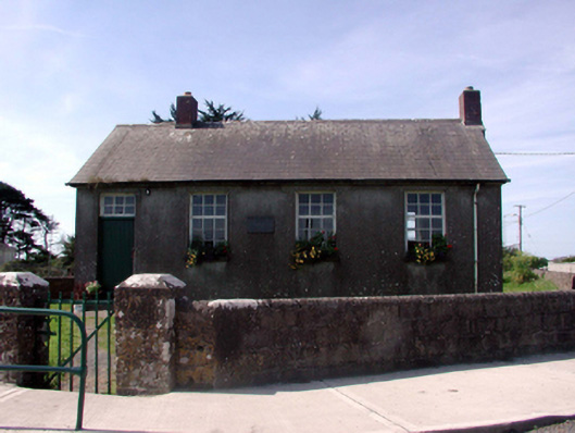 Killea National SchoolOfficially recorded historic building · 1.9 mi
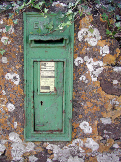 Historic buildingOfficially recorded historic building · 1.9 mi
 Fairy Bush LoopWalking route · 1.9 mi
 South East Coastal DriveVisitor information · 2.1 mi
 The Black Woman's RoadWalking route · 2.3 mi
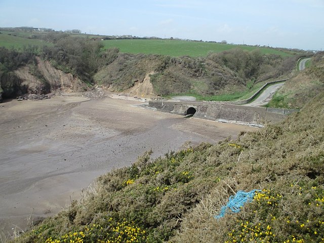 Ballymacaw CoveBeach / strand · 2.3 mi
 The Baldy ManViewpoint · 2.5 mi
 Memory of the crew of "Rescue 111"Memorial · 2.7 mi