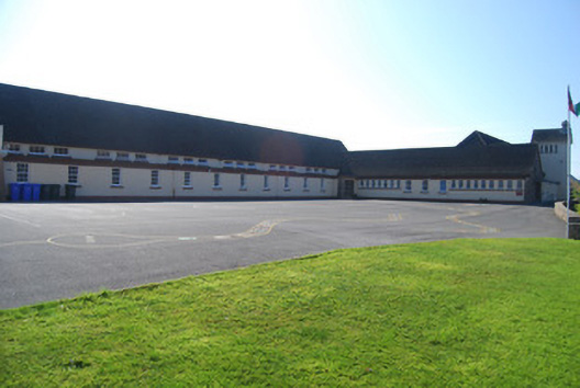
What is recorded here
Detached multiple-bay national school, dated 1955, with flat-roofed corridor having clerestorey to north elevation, flat-roofed toilet block to southeast elevation and attached two-stage water tower to west end of building, and open porches to entrances in north elevation. Pitched tiled roofs with dressed granite chimneystack and concrete cap, pitched tiled roof to tower with rendered chimneystack and pitched tile cap. Painted roughcast walls with smooth rendered plinth and eaves band. Granite buttresses forming quoins to northeast gable and cruciform smooth rendered detail and inscribed plaque, random rubble stone to central gable and all other entrances in north elevation, inscribed plaque to west of central gable. Square-headed openings to windows with raised render reveals and concrete sills throughout with six-over-six pane timber sliding sash windows, triple-pane windows to clerestorey, and six-pane iron casements and two-pane timber windows elsewhere. Square-headed openings to tower windows with tripartite blind window opening to ground (west) and range of five iron casement windows to east elevation. Square-headed openings to entrances with raised render surrounds, having decorative northeast gable with tooled limestone step, with decorative timber panelled double-leaf door (northwest gable), timber battened and timber glazed doors elsewhere. Playgrounds to front and rear, and games field to south. Set next to road with regular and irregular coursed dressed granite stone walls with concrete coping forming terrace. Parochial house and church situated to east.
This purpose-built school building is typical of mid-twentieth-century design and was built by the State to serve the surrounding area. The façade is enhanced by the retention of the open porches, inscribed name and date plaques, timber sliding sash and casement windows and the dual use of render and granite resulting in a structure that acts as a focus for the surrounding area and at the same time is aesthetically pleasing.
This does not grant access. Most recorded buildings are privately owned; view them only from public ground unless the owner allows entry.
Places near here
 Séipéal Mhic Dara [Saint Mac Dara's Catholic Church]church/chapel · 97 yd
 Cnoc an PhobailMountain / peak · 750 yd
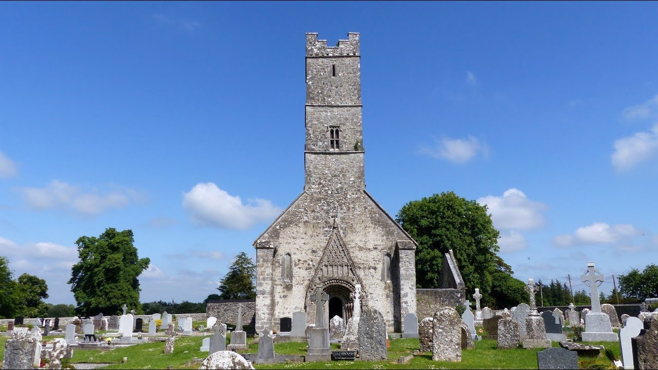 R. C. ChapelChapel · 1186 yd
 Cnoc an PhréacháinMountain / peak · 1466 yd
 Trá an Chaoráin MhóirBeach / strand · 1.0 mi
 Carraig an ImeIslet · 1.2 mi
 Trá na ReiligeBeach / strand · 1.3 mi
 Grave YardBurial ground · 1.3 mi
 Inis Mhic CionaithIslet · 1.4 mi
 Ordnance TowerMartello tower · 1.6 mi
 Trá an DóilínBeach / strand · 1.7 mi
 Gob Thóin an ChnoicHeadland · 1.9 mi
Other information
Photo: National Inventory of Architectural Heritage · Website use allowed for educational or private purposes with source credit