What is recorded here
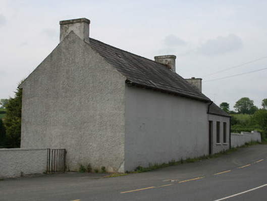
Detached five-bay two-storey school, built c.1870, with three-bay single-storey block to north end. Now disused. Pitched slate roof with clay ridge tiles and rendered chimneystacks to gable ends. Projecting pairs of roof timbers to eaves. Smooth rendered walls to main building, roughcast rendered walls to lower block. Square-headed window and door openings to main building blocked up and rendered, five bays to east, four bays to west, evidence of door to central bay of east elevation. Square-headed window openings to lower block, having two-over-two pane timber sliding sash windows with concrete sills. Square-headed door opening to east elevation of lower block, with timber battened door. Situated east of Saint Patrick's Church in grounds of graveyard in village of Oram, on bend of Castleblayney to Newtownhamilton road.
This late nineteenth-century schoolhouse is prominently located at a bend of the Castleblayney to Newtownhamilton road, and is part of the grounds of the church in Oram. At the time of its construction the village of Oram was a prominently milling and agricultural village, the school and church providing a social focus for the community. Though the window and door openings of the building have been blocked up creating an austere facade, the ordered symmetrical appearance is still discernible and the massing of the building is restrained and appealing. The national school system was established in 1831, and these schools were originally multi-denominational, serving all members of the community. By the late nineteenth century, national schools had become increasingly denominational and it is likely Oram school catered for members of the Catholic community due to its close proximity to the church. The school does not appear on the 1835 Ordnance Survey map or the Griffith Valuation map c.1858, but appears on the 1908 OS map. A new national school opened c.1959 and it was probably at this time that the old school fell into disuse. In its former role, Oram School played an important part in the social history of this rural area.
This does not grant access. Most recorded buildings are privately owned; view them only from public ground unless the owner allows entry.
Places near here
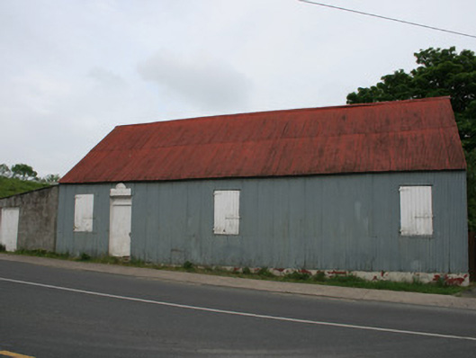 hallhall · 24 yd
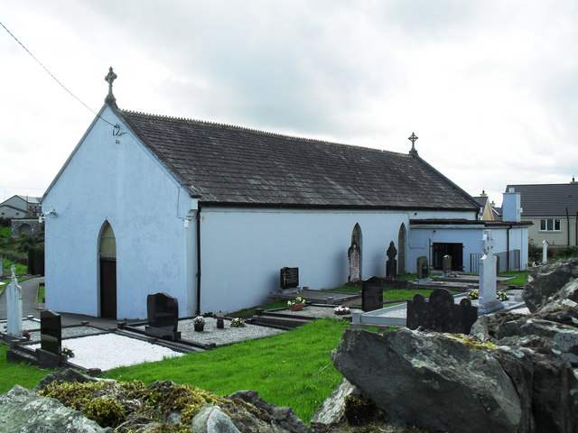 Saint Patrick's Catholic Churchchurch/chapel · 133 yd
 Harper's IslandIslet · 1.7 mi
 Garmany's IslandIslet · 1.8 mi
 John Francis GreenMemorial · 2.0 mi
 MullavashPassage tomb · 2.1 mi
 Lough MucknoLake and park landscape · 2.2 mi
 Mullyash MountainMountain / peak · 2.2 mi
 Dairy HillMountain / peak · 2.2 mi
 Big Tom Memorial StatueMemorial · 2.4 mi
 Blaney CastleCastle · 2.5 mi
 Bawn in OnomyBawn · 2.5 mi
Other information
Photo: National Inventory of Architectural Heritage · Website use allowed for educational or private purposes with source credit