What is recorded here
Scotland's National Record of the Historic Environment records Santa Lucia as Motor Vessel (period Unassigned)-(1940), Obstruction (period Unassigned)-(1940). The official map says its point is accurate as follows: NGR given to the nearest 1m. The record does not by itself mean that the public may enter the place.
The historic-place record does not grant public access. Check current conditions and ownership before entering land or a building.
Places near here
 Andrew Jackson Cottage and US Rangers CentreHeritage attraction · 1.5 mi
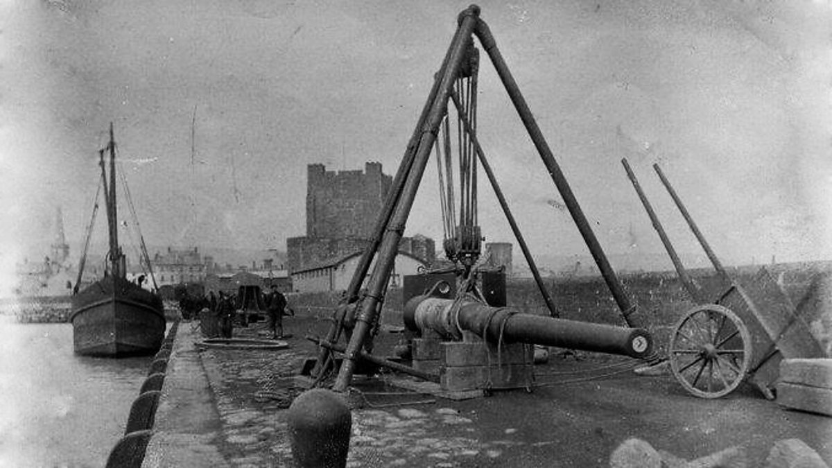 ENCLOSURE in KilrootENCLOSURE · 1.5 mi
 STONE QUAY: FISHERMAN'S QUAY in CarrickfergusSTONE QUAY: FISHERMAN'S QUAY · 1.8 mi
_-_geograph.org.uk_-_1734777.jpg?width=1280) Joymount Presbyterian ChurchChurch · 2.1 mi
Joymount Presbyterian ChurchChurch · 2.1 mi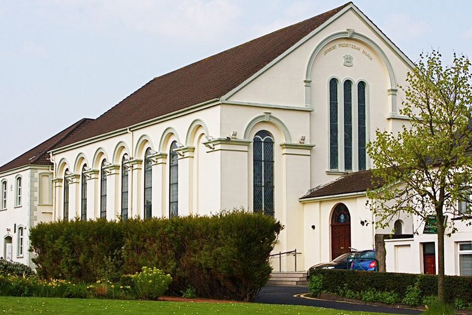 FORTIFIED HOUSE built on FRANCISCAN FRIARY: JOYMOUNT in CarrickfergusFORTIFIED HOUSE built on FRANCISCAN FRIARY: JOYMOUNT · 2.1 mi
 Carrickfergus Borough CouncilTown Hall · 2.1 mi
 Battle of Carrickfergus (1597)Major battlefield · 2.2 mi
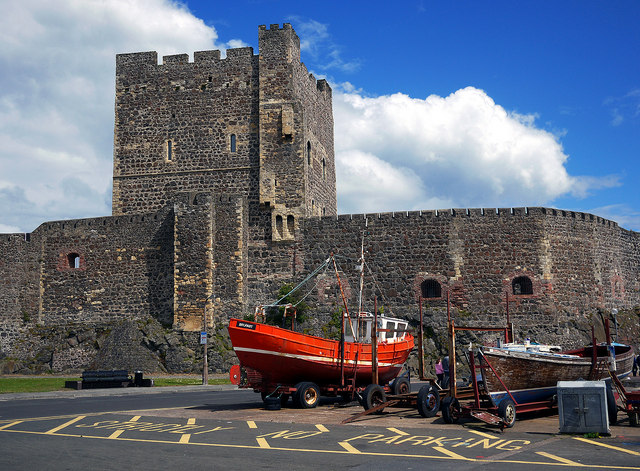 CARRICKFERGUS CASTLE in CarrickfergusCARRICKFERGUS CASTLE · 2.2 mi
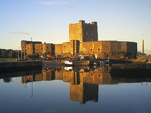 Carrickfergus CastleCastle · 2.2 mi
 Battle of Carrickfergus (1760)Major battlefield · 2.2 mi
 MEDIEVAL PARISH CHURCH, POST-MED. & MODERN CHURCH & GRAVEYARD: ST NICHOLAS' CHURCH, ST NICHOLAS OF CRAGFERGUS in CarrickfergusMEDIEVAL PARISH CHURCH, POST-MED. & MODERN CHURCH & GRAVEYARD: ST NICHOLAS' CHURCH, ST NICHOLAS OF CRAGFERGUS · 2.3 mi
 US RangersMemorial · 2.3 mi