What is recorded here
No visible marker exists at Drumena, County Down. The land may have been dug through or built upon, erasing the stone circle and burial chamber that once stood there. What remains is a coordinate and a warning: the dead were buried here before written history began.
The official Northern Ireland record identifies this as ROUND CAIRN WITH CIST. Recorded period: PREHISTORIC. Recorded protection: Scheduled. The official map point was placed at the centre of the recorded archaeological site from the source map reference.
Round cairn with cist, dating to the Neolithic or Early Bronze Age. Such tombs are significant as they represent early funerary practices and social organisation in prehistoric communities.
The monument record does not grant public access. Check the route and ask the landowner before entering private land.
- What survives
- Recorded monument
Places near here
 Drumena CashelArchaeological place · 728 yd
 CASHEL with Man-made underground passage & HOUSE SITES: WALSH'S FORT in DrumenaCASHEL with Man-made underground passage & HOUSE SITES: WALSH'S FORT · 740 yd
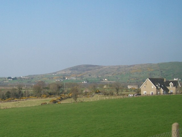 Tullynasoo MountainMountain / peak · 1.3 mi
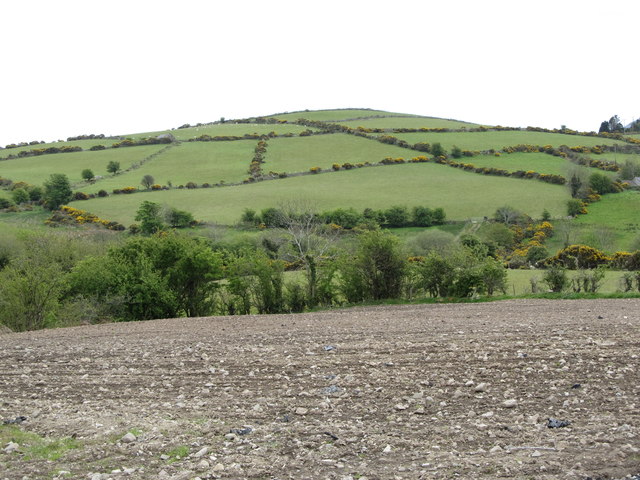 Carn HillMountain / peak · 1.3 mi
 Kilcoo GraveyardWalking route · 1.4 mi
 White FortViewpoint · 1.9 mi
 Trassey TrackWalking route · 2.1 mi
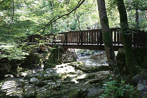 Tollymore ForestForest · 2.2 mi
 Moorish TowerCastle · 2.2 mi
 Ice HouseCastle · 2.3 mi
 Horn BridgeBridge · 2.4 mi
 The Peace MazeVisitor information · 2.5 mi