What is recorded here
Mairi's father built the round cairn at Ballyvennaght during the Neolithic period, laying local stone without mortar while she watched from the grass. The occupation site beside it suggests people lived there long enough to leave tools, ash and broken pottery behind. Mairi touched a warm stone on the cairn's south side and felt the shape of his hands inside the rock. She returned each summer with butter and bread, not for pride but to keep his warmth company. The land rememberes his choice to build there, and her return completes what he began.
The official Northern Ireland record identifies this as ROUND CAIRN & NEOLITHIC OCCUPATION SITE. Recorded period: PREHISTORIC; NEOLITHIC. Recorded protection: Scheduled. The official map point was placed at the centre of the recorded archaeological site from the source map reference.
Neolithic round cairn and occupation site, dating to the Prehistoric period. It is significant as evidence of early agricultural settlement and funerary practices in the region.
The monument record does not grant public access. Check the route and ask the landowner before entering private land.
- What survives
- Recorded monument
Places near here
_bridge_-_geograph.org.uk_-_513925.jpg?width=1280) Corratavey BridgeBridge · 709 yd
Corratavey BridgeBridge · 709 yd Ballypatrick ForestForest · 1.5 mi
 A.P. SITEA.P. SITE, modern enclosure · 1.5 mi
 Ballypatrick Forest Trails - 1 Cairn TrailWalking route · 1.5 mi
 CarnanmoreMountain / peak · 1.8 mi
 Glendun ViaductViaduct · 2.5 mi
 ENCLOSURES; STANDING STONES: RAVENS' HILL (O.S. memoir site; unlocated) in East TorrENCLOSURES; STANDING STONES: RAVENS' HILL (O.S. memoir site; unlocated) · 2.8 mi
 Carra CastleCastle · 3.2 mi
 Torr HeadViewpoint · 3.2 mi
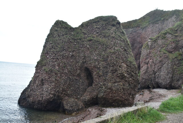 Caves of CushendunHeritage attraction · 3.7 mi
 Cranagh IslandIslet · 4.4 mi
 FairheadCliff · 4.4 mi