What is recorded here
Moyad holds a round cairn from the prehistoric period, when people built visible marks across County Down. Its stones may have guided the dead, marked territory or watched seasonal change. Nothing flashy remains in the description, but the shape is clear: a circle made by human hands, still standing where memory first learned the weight of stone.
The official Northern Ireland record identifies this as ROUND CAIRN. Recorded period: PREHISTORIC. The official map point was placed at the centre of the recorded archaeological site from the source map reference.
Round cairn, dating to the Neolithic or Bronze Age periods. These cairns are significant as they often mark burial or ritual sites, reflecting early ceremonial practices in the region.
The monument record does not grant public access. Check the route and ask the landowner before entering private land.
- What survives
- Recorded monument
Places near here
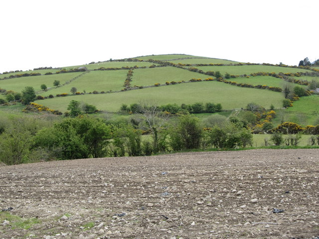 Carn HillMountain / peak · 29 yd
 ENCLOSURE in BallymoneyENCLOSURE · 1589 yd
 Kilcoo GraveyardWalking route · 1648 yd
 EARTHWORKS with STONE ENCLOSURES & HOUSE FOUNDATION in BallymoneyEARTHWORKS with STONE ENCLOSURES & HOUSE FOUNDATION · 1.3 mi
 Trassey TrackWalking route · 1.6 mi
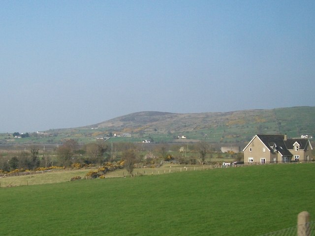 Tullynasoo MountainMountain / peak · 2.1 mi
 SpellackCliff · 2.3 mi
 Tower on Slieve MeelmoreHistoric building · 2.5 mi
 White FortViewpoint · 2.6 mi
 Bearnagh SlabsCliff · 2.9 mi
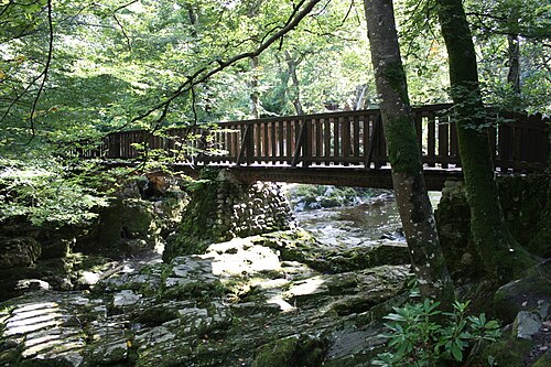 Tollymore ForestForest · 3.0 mi
 Clonduff Presbyterian ChurchChurch · 3.2 mi