What is recorded here
Mortons has spent centuries demanding proof from a dead giant. Aghatirourke offers a round cairn instead, preserving the shape of the grave while refusing the name of the victim. That absence is not a gap in the story; it is the story. The giant may have been a king, a monster, a man or a mistake, but the stones still mark the place where people believed the extraordinary had fallen.
The official Northern Ireland record identifies this as ROUND CAIRN: GIANT'S GRAVE. Recorded period: PREHISTORIC. The official map point was placed at the centre of the recorded archaeological site from the source map reference.
Round cairn, dating to the Bronze Age. It is part of a widespread megalithic tradition and may have functioned as a burial monument or ceremonial site.
The monument record does not grant public access. Check the route and ask the landowner before entering private land.
- What survives
- Recorded monument
Places near here
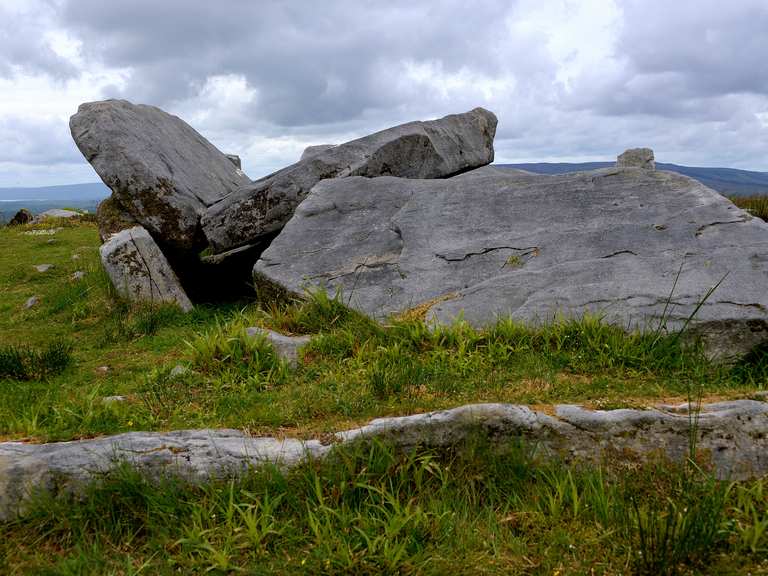 Giant's GraveArchaeological place · 21 yd
 Stone CircleArchaeological place · 26 yd
 KnockanroeMountain / peak · 389 yd
 PREHISTORIC ENCLOSURE in AghatirourkePREHISTORIC ENCLOSURE · 520 yd
 CloghanyMountain / peak · 1151 yd
 Pigeon PotCave · 1562 yd
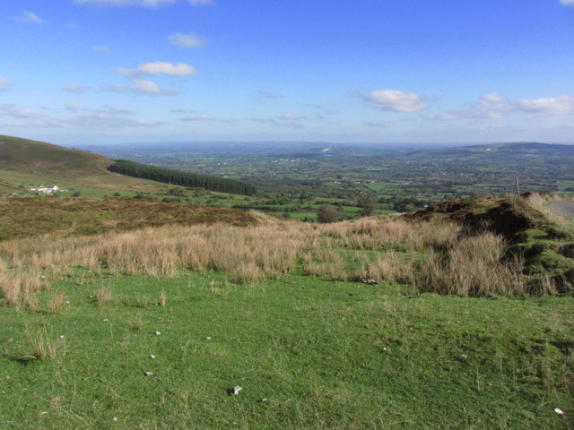 Gortalughany ViewpointViewpoint · 1720 yd
 Deer ParkForest · 1.4 mi
 Red Trail, Florence CourtWalking route · 1.4 mi
 Pollnagapple Natural ArchCliff · 1.6 mi
 Ice HouseHeritage attraction · 1.7 mi
 Accessible Trail, Florence CourtWalking route · 1.7 mi