What is recorded here
Five metres from an ancient rath, a flat stone waits on a Kerry slope, marked by repeated rubbing rather than sudden striking. The maker may have sat beside it for hours, tracing lines toward The Paps of Dana while pasture wind moved around them. That patient motion turns a ordinary field into a place where human patience still shows.
In pasture, on a N-facing slope with views SE to The Paps of Dana. An earth-fast stone (L 1.55m; Wth 1.18m; H 0.48m) has incised linear markings of varying length and depth on its surface. The lines appear to be made by repeated rubbing of a sharp-edged or pointed object. A rath (KE067-048----) is c. 5m to the WNW.
Compiled by: Elizabeth Byrne, Ursula Egan and Sheila Ronan, Archaeological Survey Unit, University College, Cork.
Date of upload: 31 January 2011
The monument record does not grant public access. Check the route and ask the landowner before entering private land.
- What survives
- Recorded monument
Places near here
 IndicatedFairy fort / earthen ringfort · 457 yd
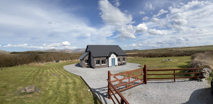 Hut site in DromickbaneHut site · 1087 yd
 Religious houseReligious house, Franciscan friars · 1164 yd
 Sheheree Bog Nature ReserveNature reserve · 1248 yd
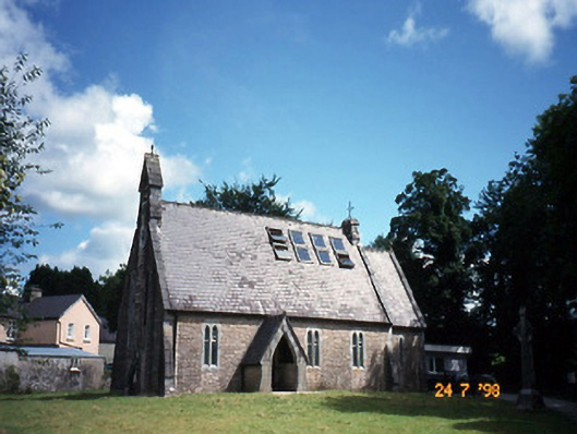 church/chapelchurch/chapel · 1.1 mi
 The Blue PoolGallery · 1.1 mi
 Blue Pool Nature ReserveWood · 1.1 mi
 Flesk CastleCastle · 1.2 mi
 Muckross AbbeyHeritage attraction · 1.4 mi
 McCarthy Mor CastleCastle · 1.5 mi
 Osprey RockIsland · 1.7 mi
 Castlelough BayBay · 1.7 mi