What is recorded here
On the lower SE side of Knag hill, overlooking Lough Currane to S, is a stone slab measuring 1.12m x .68m x .25m. It was uncovered in the late 1980s about 100m S of its present position at a depth of approximately four feet (1.2m) below ground level (local information). The decorated surface, which features some scratches made by the earth-moving machine on discovery, carries two cup-and-rings, a cup-and-penannular ring, seven cupmarks and a forked groove.
The above description is derived from A. O'Sullivan and J. Sheehan (compilers), 'The Iveragh peninsula: an archaeological survey of South Kerry'. Cork University Press (1996), no. 372. In certain instances the entries have been revised and updated in the light of recent research.
Date of upload: 28 July 2013
In small, improved pasture field adjacent to private dwelling house. Access not gained. According to O’Sullivan & Sheehan (1996, 107-8), ‘On the lower SE side of Knag hill, overlooking Lough Currane to S, is a stone slab measuring 1.12m x .68m x .25m. It was uncovered in the late 1980s about 100m S of its present position at a depth of approximately four feet (1.2m) below ground level (local information). The decorated surface, which features some scratches made by the earth-moving machine on discovery, carries two cup-and-rings, a cup-and-penannular ring, seven cupmarks and a forked groove’. According to the landowner, this stone was uncovered when digging for a septic tank (ibid).
Compiled by: Alison McQueen and Vera Rahilly
Date of upload: 6 July 2017
The monument record does not grant public access. Check the route and ask the landowner before entering private land.
- What survives
- Recorded monument
Places near here
 Indicated (1846).Fairy fort / earthen ringfort · 522 yd
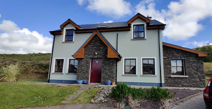 Leacht in TermonsLeacht · 853 yd
 Iveragh Lodgehunting/fishing lodge · 1344 yd
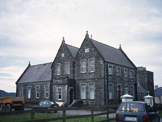 The Cable Stationcoastguard station · 1472 yd
 Butler MemorialMemorial · 1.0 mi
 T. C. Millerick MemorialMemorial · 1.1 mi
 Waterville PromenadeWalking route · 1.2 mi
 CastleCastle, tower house · 1.5 mi
 Inny StrandBeach / strand · 1.8 mi
 Reenrow BeachBeach / strand · 2.6 mi
 Emlagh LoopWalking route · 2.7 mi
 An Bheann MhórMountain / peak · 2.9 mi