What is recorded here
Under a massive rectangular boulder in County Galway, a single cupmark waits on a hidden rock shelf. Inez Streeskerk spotted the mark and told Michael Gibbons, pulling a forgotten chamber back into human memory. The shelter still stands, preserving one small indentation against time.
Associated with a rock shelter (GA023-013----), which consists of a massive overhanging rectangular boulder. A single cupmark is visible on a rock shelf on a boulder in a chamber under the overhanging boulder. The cupmark was noted by Inez Streeskerk who brought it to the attention of Michael Gibbons.
The uploaded images were supplied by M. Gibbons – view of cupmark
Compiled by: Olive Alcock with information supplied by Michael Gibbons
Updated by: Olive Alcock
Date of revised upload: 12 January 2022
Likely dating to the Neolithic or Bronze Age, the cupmark may have had ritual or symbolic significance, possibly linked to water or fertility practices common in prehistoric rock art traditions. No specific folklore is recorded for this site.
The monument record does not grant public access. Check the route and ask the landowner before entering private land.
- What survives
- Recorded monument
Places near here
 Kylemore Abbeymausoleum · 177 yd
 Tober MweelinHoly well · 839 yd
 Monterey PineMonterey Pine · 939 yd
 Doughruagh South TopMountain / peak · 1079 yd
 DoughruaghMountain / peak · 1223 yd
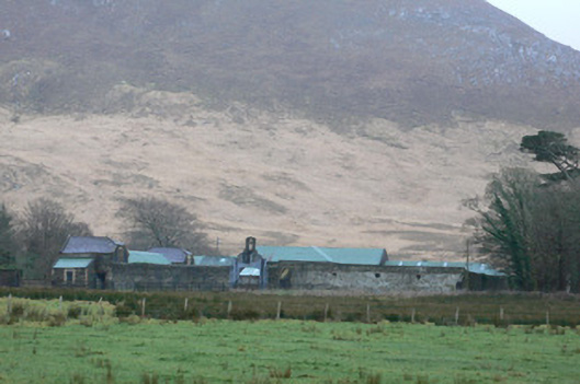 Kylemore Farm Housefarmyard complex · 1451 yd
 Ice Ho.Icehouse · 1476 yd
 Cabbage treeCabbage tree · 1.3 mi
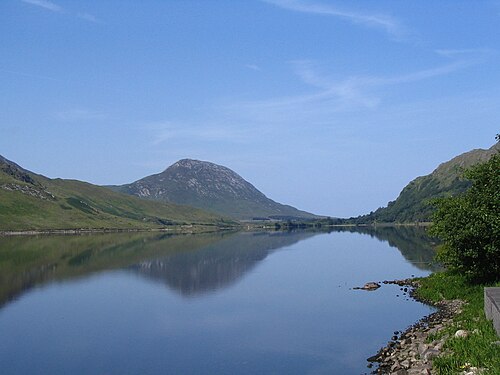 Binn GhuaireMountain / peak · 1.7 mi
 Connemara National ParkNational park · 2.8 mi
 Lettergesh BeachBeach / strand · 3.3 mi
 Glassilaun BeachBeach / strand · 3.7 mi