What is recorded here
Knockbrack rock art carries at least fourteen cupmarks and three cup-and-ring motifs on a smooth sandstone ledge above the River Maine valley. The stone sits low in improved pasture, tilted slightly north, with Gap of Dunloe and MacGillycuddy’s Reeks looming beyond the slope. Someone cut or worn those marks into brittle sandstone long before written records, perhaps marking water, boundary, ritual or memory. The cups still hold their shape, small enough to touch and old enough to make the whole valley feel witnessed.
In improved pasture (21m OD), upon a low lying area, at base of a S-facing slope; Stream is c. 75m to S. In valley of River Maine with excellent views of Gap of Dunloe to S and MacGillycuddy’s Reeks to SW. A smooth and fractured sandstone (dims. 3.6m E-W; 1.2m N-S) which is irregular in plan and is just above the existing ground level. It has a subrectangular decorated surface (dims. 1.55m E-W; 0.7m N-S) which is generally flat with a very slight N-facing tilt. The motifs are in a reasonably good condition and consist of a number of decorative elements. There are at least fourteen cupmarks (5-6cm; Dth 4-5mm) distributed across the stone. There are three cup-and-one ring motifs: The smallest cup-and-ring motif (overall dims. 14cm x 11cm; cup diam. 4.5cm; D 3mm; ring Wth 2-2.5cm; D 2mm) and the largest cup-and-ring motif (overall dims. 20cm x 18cm; cup diam. 5cm; D 4mm; ring Wth 2cm; D 2mm). Possibly a very faint outline of a fourth, larger cup-and-ring motif adjacent to W. Rock art (KE047-105----) is c. 2.6m to S.
To see a 3D model of this monument, visit; https://skfb.ly/oyoXR
Compiled by: Alison McQueen and Vera Rahilly
Date of upload: 17 July 2017
The monument record does not grant public access. Check the route and ask the landowner before entering private land.
- What survives
- Recorded monument
Places near here
 IndicatedEnclosure · 679 yd
 Man-made underground passage in BallyfinnaneMan-made underground passage · 1310 yd
 Ballyfinnane Br.Bridge · 1360 yd
 Ballygamboon Forest Recreation AreaWood · 1.3 mi
 Cloonmealane CastleCastle · 1.6 mi
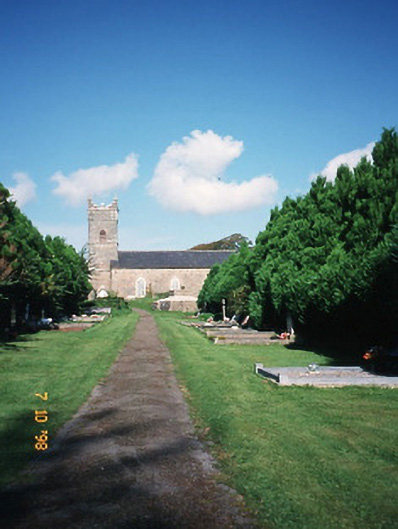 Saint Carthage's Church (Kiltallagh)church/chapel · 2.6 mi
 KnockmoyleMountain / peak · 3.1 mi
 Scotia's GraveArchaeological place · 3.2 mi
 Bealagrellagh CastleCastle · 3.4 mi
 Knockmichael MountainMountain / peak · 3.6 mi
 Common AlderCommon Alder · 4.0 mi
 Tralee Equestrian CentreHeritage attraction · 4.9 mi