What is recorded here
Situated immediately to the S of a ringfort (WI015-065----) above the flood plain of the 'Doll's Brook'. A large earthfast granite boulder (H 1.2m; 2.6m N-S x 1.5m E-W) with nineteen cupmarks (diam. c. 0.08m; D 0.03m) concentrated at the SE side with a single outlier towards the N end. The cups are noticeably shallower, and perhaps more weathered, towards the centre of the stone. The SE edge of the stone features the scars of quarrying, indicating that a portion of the stone here has been removed.
Compiled by: Matt Kelleher
Date of upload: 24 December 2012
Likely dating to the Neolithic or Bronze Age, the cupmarked boulder at Kilbaylet Lower may have had ritual or ceremonial significance, possibly linked to water or fertility symbolism. Such rock art is often associated with landscape features of spiritual importance in prehistoric communities.
This remains an important historical record, but the official description says the monument is no longer visible or has been destroyed. The monument record does not grant public access. Check the route and ask the landowner before entering private land.
- What survives
- No visible remains or recorded as destroyed
Places near here
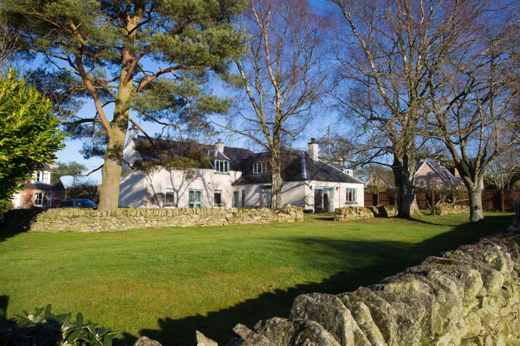 Enclosure in BroomfieldsEnclosure · 667 yd
 Catholic Church of the Holy Trinitychurch/chapel · 835 yd
 Pedunculate OakPedunculate Oak · 927 yd
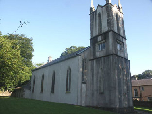 Donard Churchchurch/chapel · 1032 yd
 Enclosure in Kilbaylet LowerEnclosure · 1240 yd
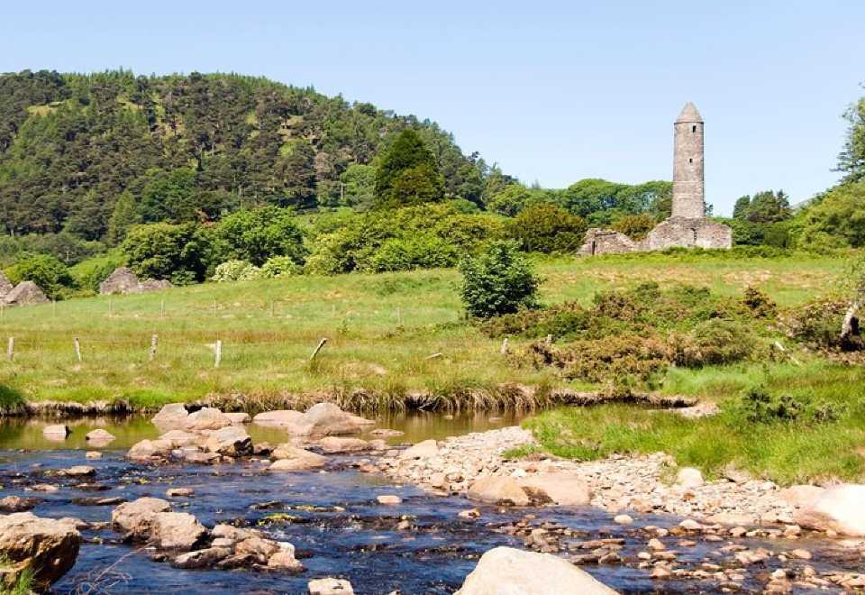 Ball MoatCastle, motte · 1496 yd
 PinnacleMountain / peak · 1.5 mi
 Church MountainMountain / peak · 1.8 mi
 English hollyEnglish holly · 2.4 mi
 Burial ground in CrehelpBurial ground · 2.9 mi
 Castleruddery MotteArchaeological place · 3.1 mi
 Hollywood SignHeritage attraction · 3.9 mi