What is recorded here
Mairi and Daemhan climbed the western slope above Caherlehillan, following the buried line of a old field boundary into mountain heath. They found the upright stone and flat-topped neighbour, but furze and moss had closed over the place like a fist. Mairi touched a fracture in the rock and swore she felt a ridge beneath the skin, daemhan like a road marker or the edge of a memory. They left the case closed and marked the point for another day, when the heath might open its hand.
In mountain heath (164m OD), on a W-facing slope; Excellent views of Ferta River valley to SW. Rock art site appears to have been located, as per locational information on file. Surface of boulder not seen due to dense covering of impenetrable vegetation; Natural fractures can be seen amongst the furze bushes, yet it was not possible to see any motifs. Note: The same co-ordinate is on file for two rock art sites (KE070-133001- and KE070-133002-). There is an upright stone (H c. 0.75m; Wth 0.2m) abutting the SW side of rock art (KE070-133001-) and a large, flat topped stone with a N-facing slope, adjacent to W of the upright stone. Field boundary (long axis NE-SW) adjacent to W.
Compiled by: Alison McQueen and Vera Rahilly
Date of upload: 31 May 2017
The monument record does not grant public access. Check the route and ask the landowner before entering private land.
- What survives
- Recorded monument
Places near here
 Church in CaherlehillanChurch · 381 yd
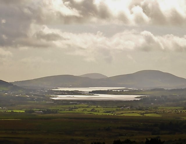 Man-made underground passage in CahernamanMan-made underground passage · 889 yd
 SheepfoldHut site · 951 yd
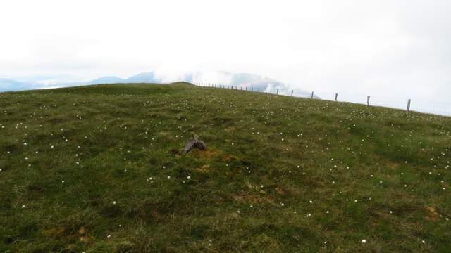 Been HillMountain / peak · 1.6 mi
 MullaghnarakillMountain / peak · 2.1 mi
 Soft Tree-fernSoft Tree-fern · 2.5 mi
 Chilean wine palmChilean wine palm · 2.5 mi
 Kells BeachBeach / strand · 2.7 mi
 Gleensk Viaductbridge · 3.0 mi
 Sheep Dog TrainingHeritage attraction · 3.1 mi
 Short Castle (Site of)Castle, unclassified · 3.6 mi
 FeaklecallyHeadland · 3.8 mi