What is recorded here
Unlocated ancient road between Moneymore and Mountrath, described by Carrigan as part of the course of the Bealach Mor which ran between Moneymore and Mountrath, which it is still possible to trace by very careful examination though more modern roads have entirely by-passed it (Feehan 1983, 456).
Compiled by: Caimin O'Brien
Date of upload: 17 December 2007
The monument record does not grant public access. Check the route and ask the landowner before entering private land.
- What survives
- Recorded monument
Places near here
 Enclosure in DerrynaseeraEnclosure · 338 yd
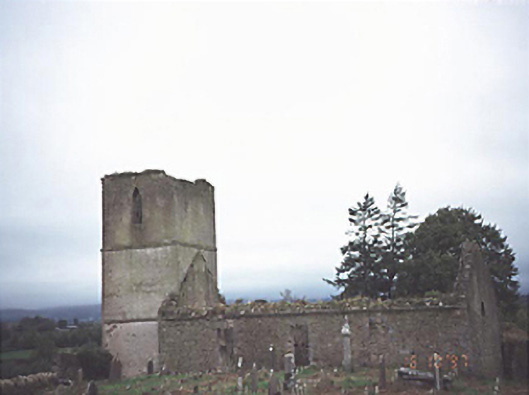 Anatrim Church (Offerlane)church/chapel · 682 yd
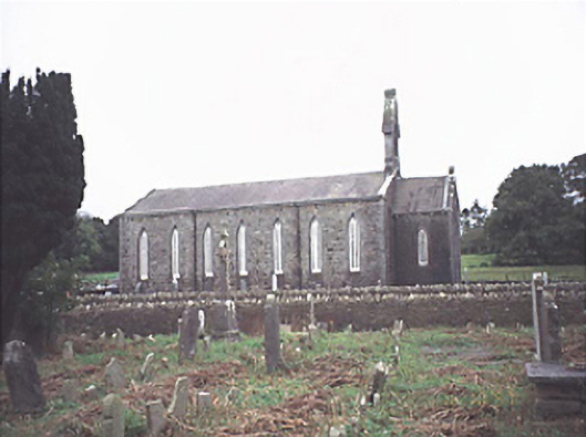 Saint Jude's Church (Offerlane)church/chapel · 741 yd
 MoatFairy fort / earthen ringfort · 1479 yd
 Sweet ChestnutSweet Chestnut · 2.4 mi
 Site of CastleCastle, unclassified · 2.9 mi
 Mondrehid CastleCastle, tower house · 3.1 mi
 ArderinMountain / peak · 5.5 mi
 European BeechEuropean Beech · 8.3 mi
 Cumber HillMountain / peak · 8.8 mi
 Millennium GardenMemorial · 9.4 mi
 Saint Dominick's WellSpring · 9.6 mi