What is recorded here
Marked for some of its length at the N end (L c. 1km) on the 1837 ed. of the OS 6-inch map where it is described as an 'Old road', and visible as an interrupted linear feature (L c. 4.1 km) on aerial photographs (ACAP: V205/10-11). Situated on a high plateau, sloping down to the S and W, it may have been part of an old road from Rathcroghan to Castlerea, linking up with the section (RO021-042014-) in Glenballythomas, c. 2 km to the N. This section runs from the road-junction at Gortnasillagh/Ballooney at the NE end to Lisalway cross-roads at the SW end. It traverses three WNW-ESE ridges and it would have met the road at Gortnasillagh/Glenvela (RO021-069002-) c. 1km from its own NE end.
At the N end it is removed close to the junction but can be traced as a grass-covered band (Wth c. 4m) with strips of lusher growth (Wth 1-2m) on either side. About 300m from the junction one bank (Wth 3m; H 1m) can be seen as a field bank with a drain (Wth of base 1.4m; D 0.4m) on its SE side (L c. 300m). Near Lisalway cross-roads it is visible as a grass-covered carriageway (Wth c. 3m) with earthen banks (Wth 3-4.5m; H 0.2-0.4m) at either side (L c. 300m). Further N it is visible as a grass-covered berm (4m; L c. 150m) defined by a scarp (H 0.2m) on the NW side. In Glenelva, N of the public road it is bounded by a field wall on the SE side which crosses to the NW side c. 500m from the public road where it is a grass-covered berm (Wth c. 3m) defined on SE by an earthen bank (Wth 3.5m; H 0.5m) with an outer drain.
Compiled by: Michael Moore
Date of upload: 24 August 2010
The monument record does not grant public access. Check the route and ask the landowner before entering private land.
- What survives
- Recorded monument
Places near here
 Church in GlenvelaChurch · 492 yd
 Enclosure in Glenvela,gortnasillaghEnclosure · 598 yd
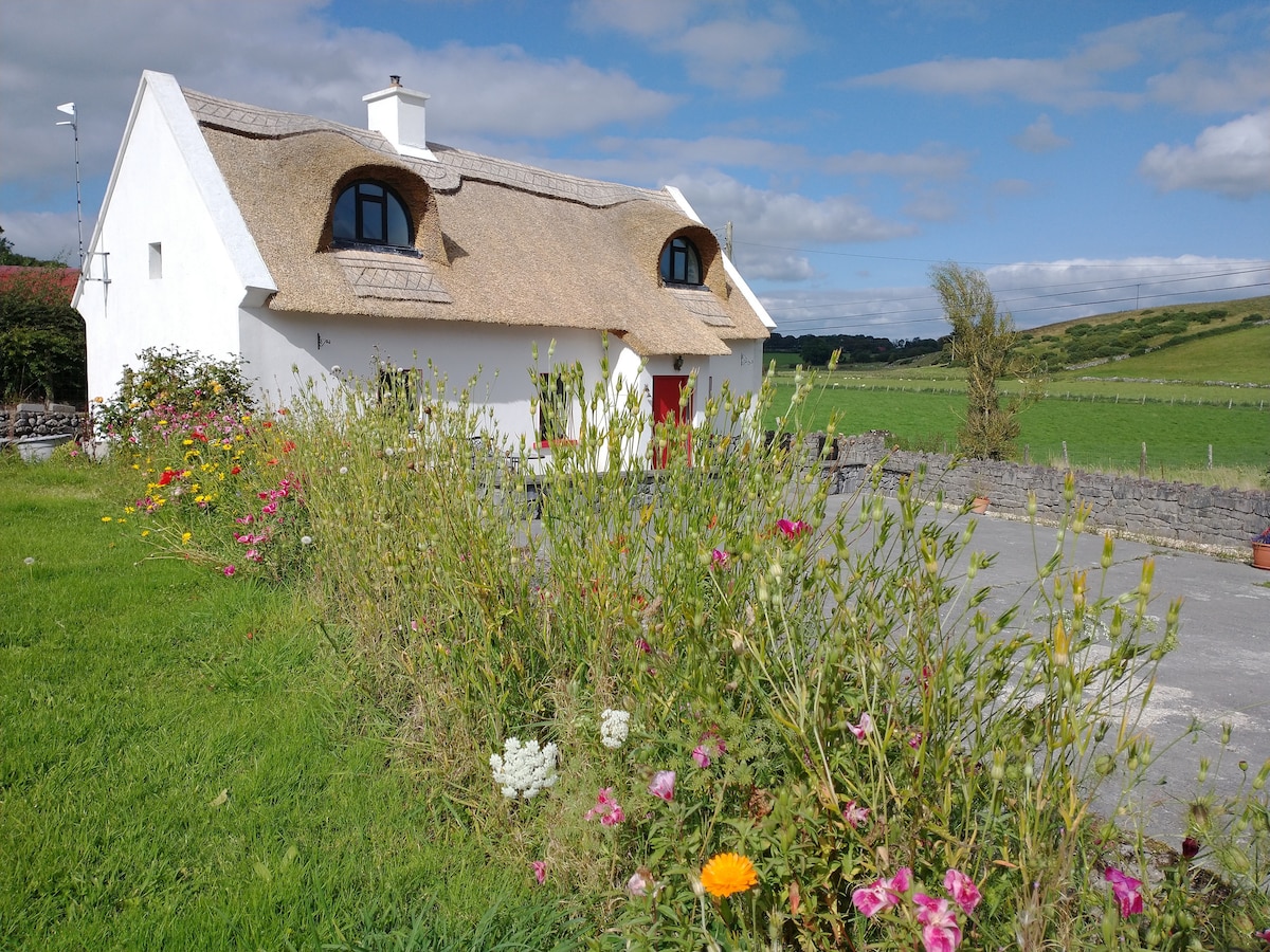 Sweathouse in RathmoyleSweathouse · 1159 yd
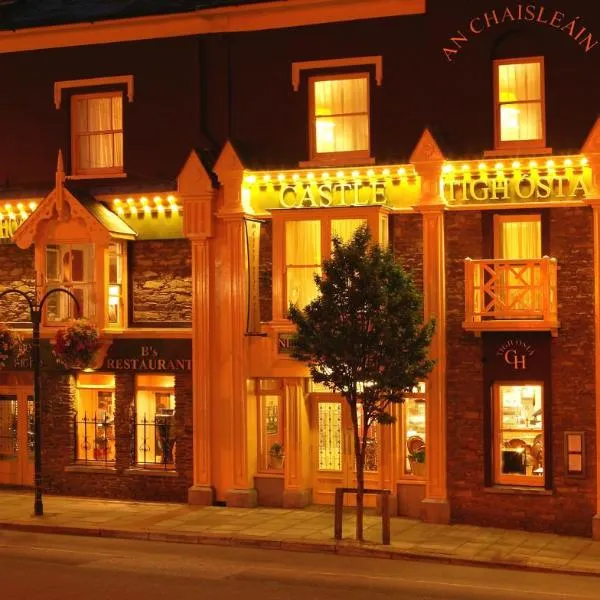 IndicatedChurch · 1619 yd
 CastlerubyCastle, unclassified · 1.6 mi
 European ashEuropean ash · 3.3 mi
 ToberagullaSpring · 3.3 mi
 Cruachan Aí Heritage CentreMuseum · 4.2 mi
 GortnacushlaunCastle, unclassified · 4.3 mi
 Silver IslandIslet · 4.4 mi
 Workhouse MemorialMemorial · 5.1 mi
 HawthornHawthorn · 7.0 mi