
What is recorded here
Located on a gentle E and NE-facing slope on the SW side of a small NW-SE stream and its valley. A magnetic gradiometry survey (15R042) of about 4 ha (c. 10 acres) around St Mary’s Augustinian abbey (WX015-003004-) recorded elements of a post-medieval field system (WX015-003034-). A NW-SE roadway (Wth c. 7m; L 100m plus) defined by parallel ditches running outside the NE edge of the graveyard around the Cathedral (WX015-003003-) might be associated with these. (Dowling 2015, 10)
Compiled by: Michael Moore
Date of upload: 22 February 2019
The monument record does not grant public access. Check the route and ask the landowner before entering private land.
- What survives
- Recorded monument
Places near here
 Water millWater mill, horizontal-wheeled · 58 yd
 Field system in Ferns DemesneField system · 67 yd
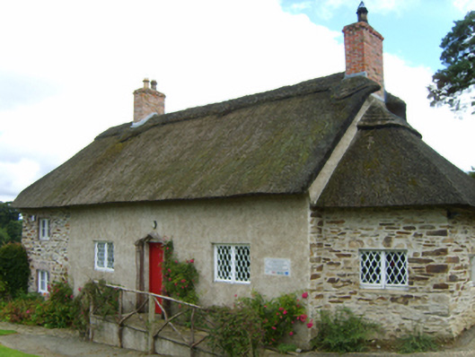 Saint Mogue's Cottagesexton's house · 70 yd
 Stone CrossCross, High cross · 96 yd
 Ferns Castle (in ruins)Castle, Anglo-Norman masonry castle · 590 yd
 Coolroe WoodForest · 1.0 mi
 Coolpuck WoodForest · 1.2 mi
 CastleCastle, unclassified · 1.2 mi
 Milshoge RockMountain / peak · 3.7 mi
 Giants BedNamed rock · 3.9 mi
 Carrigroe HillMountain / peak · 4.3 mi
 Father Murphy CentreHeritage attraction · 4.4 mi
Other information
Photo: Credit not shown in the picture search · Rights wording not checked; contact us if this picture should be removed