What is recorded here
Approaching a possible crannog (KD004-014----) from the W. Cullen (1999, 86-7) noted a possible grassed-over, gravel 'causeway' (L c. 75m E-W; Wth 3m; H 0.2m) crossing lower ground immediately W of the possible crannog and ending at W at a low counterscarp. The feature survives as described by Cullen.
Compiled by: Gearóid Conroy
Date of upload: 10 June 2011
The monument record does not grant public access. Check the route and ask the landowner before entering private land.
- What survives
- Recorded monument
Places near here
 IndicatedFairy fort / earthen ringfort · 633 yd
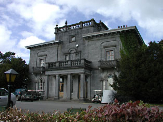 Knockanally Housecountry house · 803 yd
 Enclosure in DysartEnclosure · 1607 yd
 water pumpwater pump · 1687 yd
 MoatCastle, motte · 1.0 mi
 Site of Dunfierth CastleCastle, unclassified · 1.6 mi
 Cloncurry GraveyardHeritage attraction · 2.1 mi
 The Grill ShackHeritage attraction · 2.2 mi
 Old Bog Road made famous by Teresa Bryton 1868-1943Memorial · 2.8 mi
 9/11 MemorialMemorial · 3.5 mi
 European ashEuropean ash · 3.5 mi
 Loughtown CovertWood · 4.8 mi