
What is recorded here
Located on a gentle SW-facing slope. The cropmark of a roadway (Wth c. 5m; L c. 100m) between two banks, each with two drains, is visible on digital aerial photographs (WX039-080_1, _2) taken in 2006. The road is aligned NE-SW and is unrelated to the current road system that is in place since before the 1839 ed. of the OS 6-inch map, but it is heading towards the bridge on the E-W Campile stream in Campile village that is c. 300m to the SSW.
WX039-080----.jpg from SW
Compiled by: Michael Moore
Date of upload: 24 January, 2013
The monument record does not grant public access. Check the route and ask the landowner before entering private land.
- What survives
- Recorded monument
Places near here
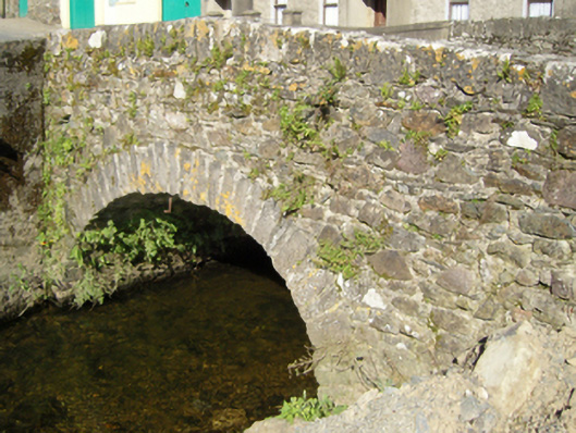 Campile Bridgebridge · 400 yd
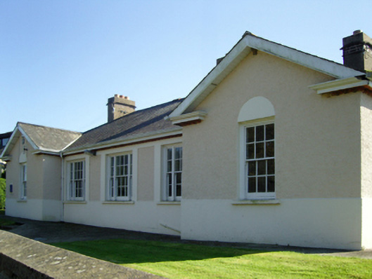 Campile Garda Síochána Stationgarda station/constabulary barracks · 421 yd
 Campile WWII Bombing MemorialMemorial · 621 yd
 Dunbrody Abbey Visitor CentreHeritage attraction · 1604 yd
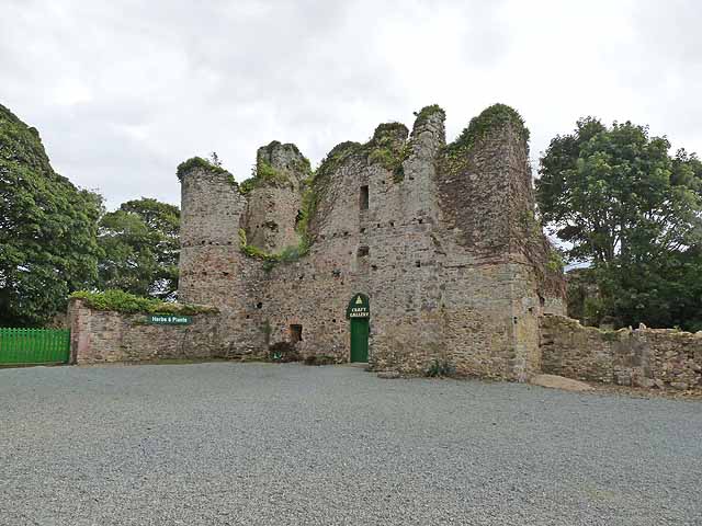 Dunbrody CastleCastle · 1647 yd
 Castle (in ruins)Bawn · 1654 yd
 Tinnock RockNamed rock · 1658 yd
 Dunbrody Abbey Hedge MazeHeritage attraction · 1692 yd
 Field system in DunbrodyField system · 1.0 mi
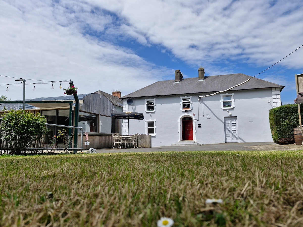 Embanked enclosureFairy fort / earthen ringfort · 1.2 mi
 Arboretum MapVisitor information · 1.4 mi
 Silver WattleSilver Wattle · 1.5 mi
Other information
Photo: Credit not shown in the picture search · Rights wording not checked; contact us if this picture should be removed