What is recorded here
On N shore of Shanakeever Lough. A short portion (L 5.2m) of a stone trackway is visible running N-S, from the water's edge, into the blanket bog. It consists of a bed of flat stones defined along either side by a kerb of set stones (Wth 1.9m, H OJOm). A number of pre-bog walls (GA035-056----) have been recorded in the area to NE.
The above description is derived from the published 'Archaeological Inventory of County Galway Vol. I - West Galway'. Compiled by Paul Gosling (Dublin: Stationery Office, 1993).
Date of upload: 05 August 2010
A prehistoric gravel/stone trackway, likely dating to the Bronze Age, constructed as a causeway across a peatland. It represents early engineering efforts to navigate wet landscapes and indicates human activity and land use in the peatland environment.
The monument record does not grant public access. Check the route and ask the landowner before entering private land.
- What survives
- Recorded monument
Places near here
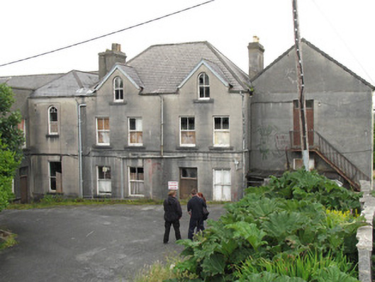 Saint Joseph's Conventschool · 1.1 mi
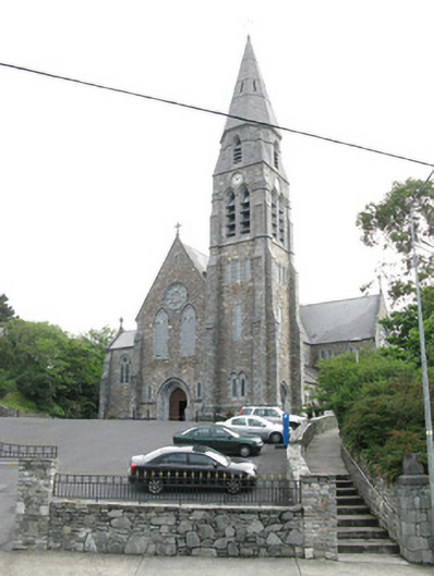 Saint Joseph's Catholic Churchchurch/chapel · 1.1 mi
 Court Ho.Courthouse · 1.2 mi
 Station House MuseumMuseum · 1.2 mi
 Enclosure in TooraskeheenEnclosure · 1.2 mi
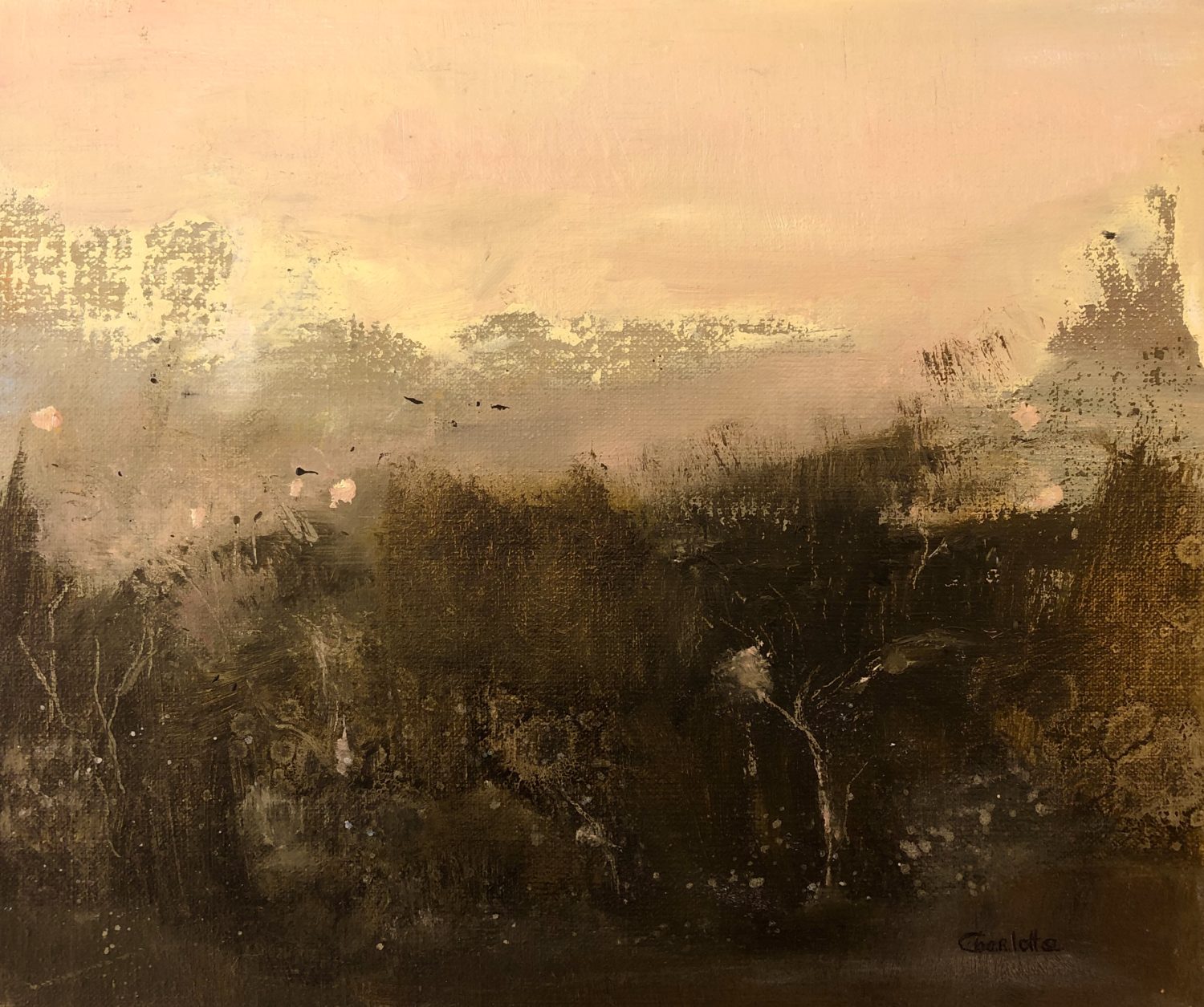 Lavelle Art GalleryGallery · 1.2 mi
 Abbeyglen Castle HotelCastle · 1.5 mi
 Boolard IslandIslet · 2.6 mi
 Alcock and Brown Atlantic CrossingMemorial · 2.8 mi
 Bawn in Doon (ballynahinch By.)Bawn · 3.6 mi
 CrannogIslet · 4.2 mi
 DerrylahanMountain / peak · 4.2 mi