What is recorded here
In a low-lying bog running NW from the River Shannon. A section of road (L c. 1 km; Wth 2.5-3m; T 0.3m) just opposite the bridge of Clonmacnoise (RO055-008----) was revealed in 1983 at two separate points along its length as a layer of gravel (Wth 2.5-3m; T. 0.3m) at a depth of 0.6-1m in the bog. The modern NNW-SSE road (L c. 3km) through Nure village continues along the line of the routeway and may have been built on the gravel road. Part of the road is preserved in a section of uncut peat and was listed under Section 8 of the 1954 National Monuments Act.
Compiled by: Michael Moore
Date of upload: 24 August 2010
The monument record does not grant public access. Check the route and ask the landowner before entering private land.
- What survives
- Recorded monument
Places near here
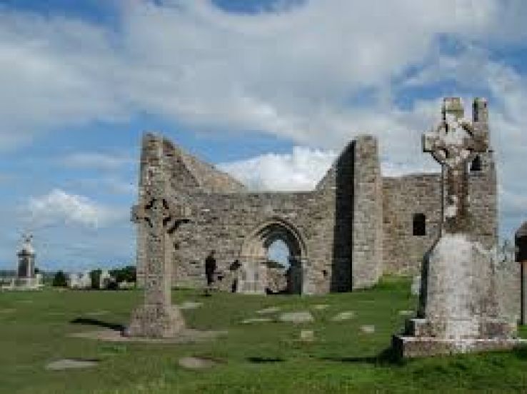 Bridge in ClonmacnoiseBridge · 920 yd
 ToberfineenHoly well · 1082 yd
 Field system in ClonmacnoiseField system · 1120 yd
 Castle or Bishops PalaceCastle, Anglo-Norman masonry castle · 1143 yd
 KilnKiln, corn-drying · 1185 yd
 ClonmacnoiseMuseum · 1194 yd
 Graveyard in ClonmacnoiseGraveyard · 1257 yd
 HawthornHawthorn · 1514 yd
 CastleCastle, unclassified · 2.1 mi
 Devenish IslandIsland · 2.3 mi
 Long IslandIsland · 4.0 mi
 Split HillMountain / peak · 4.3 mi