What is recorded here
A peatland survey carried out in 2006 by Archaeological Development Services recorded a togher measuring in ‘width 2.8m, depth 1.4m, length unknown’ (Whitaker 2006, 37). Described by Whitaker (2006, 37) as this ‘site was visible on the field surface, 6m west of TN-BLG016b. It was composed of six transverse and one displaced roundwood elements located 0.05 to 0.5m apart. The transverses were orientated east–west and the displaced roundwood was located on the northern side of the site and was orientated northwest–southeast. The elements were moderately well preserved but had been milled on their upper surfaces. They measured between 0.15 and 1.42m in length and between 0.05 and 0.17m in diameter. The underlying peat was composed of well-humified Sphagnum peat’.
Compiled by: Caimin O’Brien
Date of upload: 20 August 2012
The monument record does not grant public access. Check the route and ask the landowner before entering private land.
- What survives
- Recorded monument
Places near here
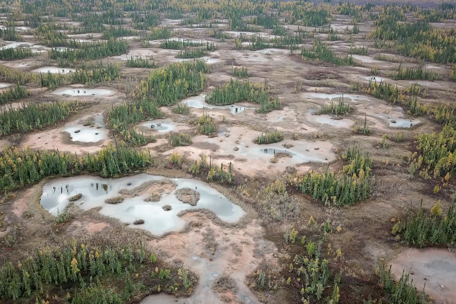 PlatformPlatform, peatland · 281 yd
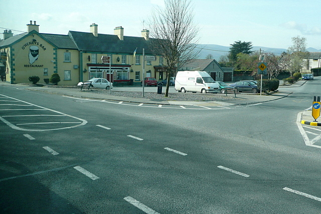 RoadRoad, class 3 togher · 305 yd
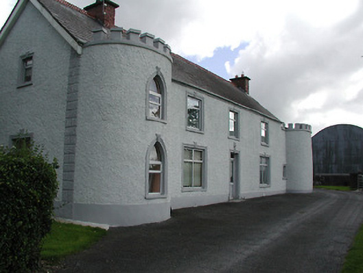 Castle Viewhouse · 1485 yd
 Ballybeg CastleCastle · 1584 yd
 Sweet ChestnutSweet Chestnut · 1.2 mi
 Ballydavid CastleCastle · 1.2 mi
 Derrynaflan TrailHeritage attraction · 1.2 mi
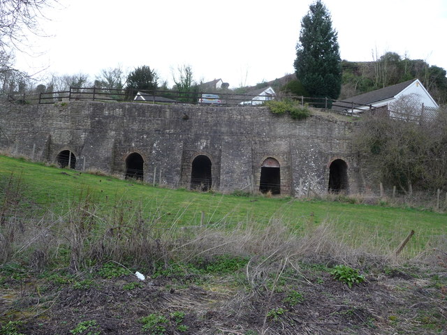 Enclosure in LiskeveenEnclosure · 1.5 mi
 Horse and JockeyVisitor information · 2.2 mi
 Gobban Saer's GraveArchaeological place · 2.3 mi
 European ashEuropean ash · 2.5 mi
 Gift Horse GalleryGallery · 2.8 mi